Seaport · Norway

SalsbruketNOSBU

64.7978°, 11.8603°
Salsbruket is also a UN/LOCODE logistics hub →

Channel & Berth Profile

SEA LEVEL (CD)CHANNEL BEDCargo pier · 6.4 mAnchorage · 23.2 m
NGA World Port Index

Pilotage, Tugs & Services

Pilotage compulsoryNO
Tug assistanceNO
Salvage tugsNO
Potable waterNO
NGA World Port Index

Facilities & Capabilities

Container
Ro-Ro
Liquid bulk
Dry bulk
Oil terminal
Break bulk
Dry dock
Repairs
Bunkering
Rail link
Dangerous cargo
ISPS security
NGA World Port Index

Harbour Specifications

Harbour size
Small
NGA World Port Index
Harbour type
Coastal (Natural)
NGA World Port Index
Shelter
Good
NGA World Port Index
Water body
Norwegian Sea; North Atlantic Ocean
NGA World Port Index
Overhead limit
No
NGA World Port Index
Pilotage
No
NGA World Port Index

Location

Location of NOSBU
Natural Earth 10m (public domain) · Nord-Trøndelag · NOSBU · 64.80, 11.86GoogleOSMYandex

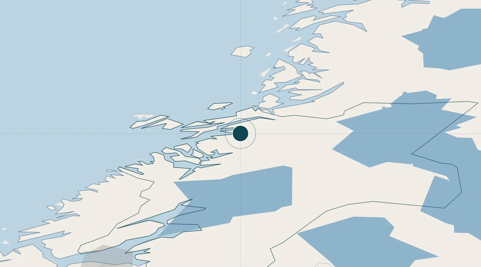
Nearby Logistics Neighbours

Ports
  1. 1Rorvik30 km
  2. 2Namsos41 km
  3. 3Berg65 km
  4. 4Bronnoysund76 km
  5. 5Malm87 km
Nearest neighbours — logibook spatial index (haversine) over the source coordinates
Cities
  1. 1Ottersøya28 km
  2. 2Ottersøy28 km
  3. 3Rørvik30 km
  4. 4Gutvik32 km
  5. 5Abelvær33 km
Nearest neighbours — logibook spatial index (haversine) over the source coordinates
Airports
  1. 1Rørvik Airport, Ryum34 km
  2. 2Namsos Airport39 km
  3. 3Brønnøysund Airport, Brønnøy76 km
  4. 4Mosjøen Airport, Kjærstad126 km
  5. 5Sandnessjøen Airport, Stokka132 km
Nearest neighbours — logibook spatial index (haversine) over the source coordinates
Trade Zones
  1. 1Stockholm Free Zone687 km
  2. 2Turku Free Zone716 km
  3. 3Gothenburg Boundless Customs Warehouse789 km
  4. 4Jönköping Free Zone791 km
  5. 5Freeport of Hanko792 km
Nearest neighbours — logibook spatial index (haversine) over the source coordinates
DatabookThe Record of Consolidated Knowledge
Norway beyond logistics?
Browse databook

All Sources

Portsthe NGA World Port Index
Public domain (US gov)
AirportsOurAirports
Public domain
LocationsUN/LOCODE
UN/LOCODE — free
Trade Zonesthe World Bank SEZ database
CC BY 4.0
Trade ZonesOpen Zone Map
CC BY
← Norway ports