Large airport · Norway

Trondheim Airport, VærnesENVA
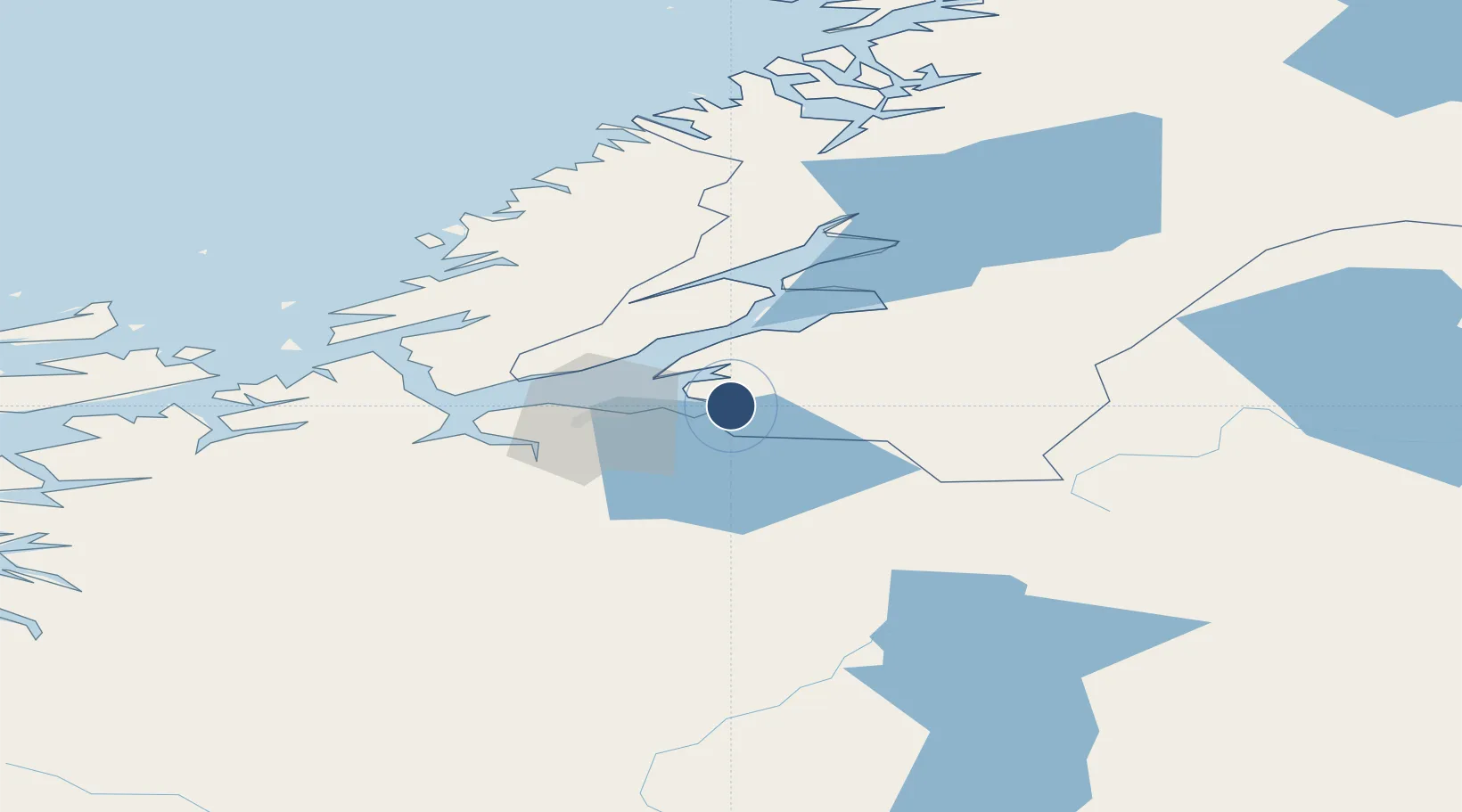
63.4578°, 10.9240°
9,052 ft
Longest runway
1
Runways
56 ft
Elevation

Runway & Layout

Trondheim Airport, Værnes runway & taxiway layout
Runway & taxiway layout — OpenStreetMap (ODbL) / OurAirports

Radio Frequencies

ATIS
127.55 MHz
TWR
119.4 MHz
GND
121.6 MHz
Værnes ground
APP
118.6 MHz
OurAirports

Navaids

FLR NDB Flornes 380 kHz
GRK NDB Grakallen 358 kHz
TRM VOR-DME Trondheim 112.50 MHz
VAE TACAN Vaernes 109.60 MHz
OurAirports

Runways · 1

RunwayDimensions SurfaceTrue headingLit
09/27 9,052 × 148ft Asphalt 090°
OurAirports

Airport Specifications

IATA code
TRD
OurAirports
ICAO code
ENVA
OurAirports
Airport class
Large airport
OurAirports
Scheduled service
Yes
OurAirports
Runway surface
Asphalt
OurAirports
Served city
Trondheim
OurAirports

Location

Location of ENVA
Natural Earth 10m (public domain) · Nord-Trøndelag · ENVA · 63.46, 10.92GoogleOSMYandex

Nearby Logistics Neighbours

Airports
  1. 1Ørland Airport71 km
  2. 2Røros Airport100 km
  3. 3Namsos Airport117 km
  4. 4Rørvik Airport, Ryum154 km
  5. 5Kristiansund Airport, Kvernberget160 km
Nearest neighbours — logibook spatial index (haversine) over the source coordinates
Cities
  1. 1Stjørdal2 km
  2. 2Muruvika5 km
  3. 3Hommelvik10 km
  4. 4Langstein10 km
  5. 5Ranheim19 km
Nearest neighbours — logibook spatial index (haversine) over the source coordinates
Ports
  1. 1Muruvik5 km
  2. 2Hommelvik8 km
  3. 3Langstein10 km
  4. 4Trondheim26 km
  5. 5Fiborgtangen31 km
Nearest neighbours — logibook spatial index (haversine) over the source coordinates
Trade Zones
  1. 1Stockholm Free Zone595 km
  2. 2Gothenburg Boundless Customs Warehouse641 km
  3. 3Jönköping Free Zone656 km
  4. 4Freeport of Copenhagen- Nordhavn866 km
  5. 5MTS Malmö Transport and Spedition882 km
Nearest neighbours — logibook spatial index (haversine) over the source coordinates
DatabookThe Record of Consolidated Knowledge
Norway beyond logistics?
Browse databook

All Sources

AirportsOurAirports
Public domain
Portsthe NGA World Port Index
Public domain (US gov)
LocationsUN/LOCODE
UN/LOCODE — free
Trade Zonesthe World Bank SEZ database
CC BY 4.0
Trade ZonesOpen Zone Map
CC BY
InfrastructureOpenStreetMap
ODbL 1.0
← Norway airports