Channel & Berth Profile
Pilotage, Tugs & Services
Pilotage compulsoryYES
Pilotage availableYES
Potable waterYES
MedicalYES
Facilities & Capabilities
Container—
Ro-Ro—
Liquid bulk—
Dry bulk—
Oil terminal—
Break bulk—
Dry dock—
RepairsNO
BunkeringYES
Rail linkYES
Dangerous cargo—
ISPS security—
Harbour Specifications
Harbour size
Very Small
Harbour type
River (Natural)
Shelter
Good
Water body
Norwegian Sea; North Atlantic Ocean
Overhead limit
Yes
Pilotage
Yes
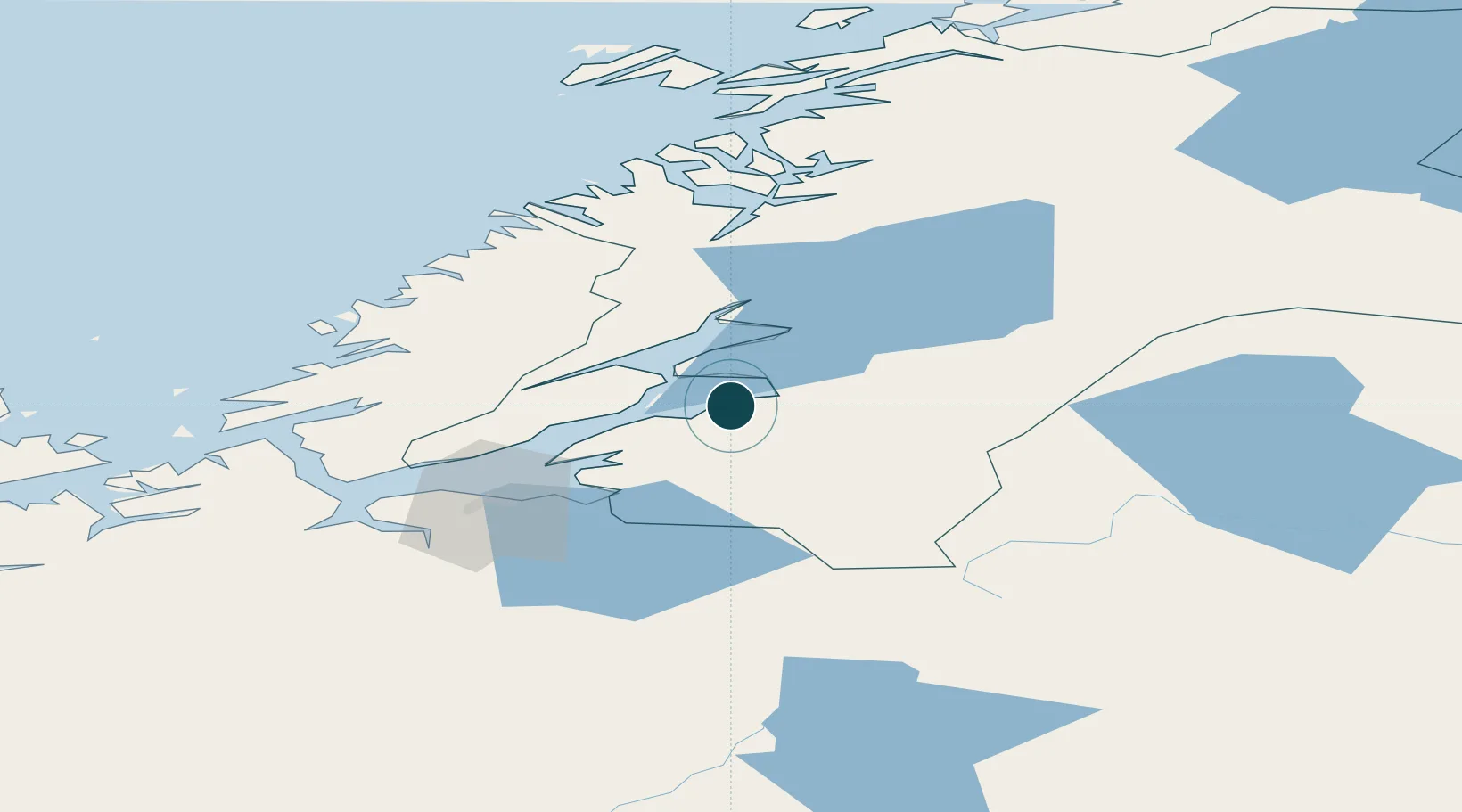
Location
Nearby Logistics Neighbours
Ports
- 1Fiborgtangen8 km
- 2Steinkjer30 km
- 3Langstein30 km
- 4Malm35 km
- 5Muruvik41 km
Airports
- 1Trondheim Airport, Værnes38 km
- 2Namsos Airport81 km
- 3Ørland Airport83 km
- 4Rørvik Airport, Ryum121 km
- 5Røros Airport131 km
Trade Zones
- 1Stockholm Free Zone608 km
- 2Gothenburg Boundless Customs Warehouse673 km
- 3Jönköping Free Zone683 km
- 4Freeport of Copenhagen- Nordhavn897 km
- 5Free port of Ventspils899 km
DatabookThe Record of Consolidated Knowledge
Norway beyond logistics?