Channel & Berth Profile
Pilotage, Tugs & Services
Pilotage compulsoryNO
Pilotage availableYES
Tug assistanceNO
Salvage tugsNO
Potable waterYES
Diesel bunkersNO
MedicalYES
Facilities & Capabilities
Container—
Ro-Ro—
Liquid bulk—
Dry bulk—
Oil terminal—
Break bulk—
Dry dock—
Repairs—
BunkeringNO
Rail link—
Dangerous cargo—
ISPS security—
Harbour Specifications
Harbour size
Very Small
Harbour type
River (Natural)
Shelter
Good
Water body
Norwegian Sea; North Atlantic Ocean
Tidal range
4 m
Overhead limit
No
Pilotage
No
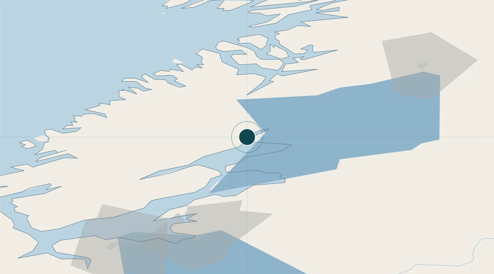
Location
Nearby Logistics Neighbours
Ports
- 1Steinkjer14 km
- 2Levanger35 km
- 3Fiborgtangen39 km
- 4Namsos46 km
- 5Langstein60 km
Airports
- 1Namsos Airport48 km
- 2Trondheim Airport, Værnes69 km
- 3Rørvik Airport, Ryum86 km
- 4Ørland Airport89 km
- 5Brønnøysund Airport, Brønnøy162 km
Trade Zones
- 1Stockholm Free Zone637 km
- 2Turku Free Zone695 km
- 3Gothenburg Boundless Customs Warehouse708 km
- 4Jönköping Free Zone717 km
- 5Freeport of Hanko769 km
DatabookThe Record of Consolidated Knowledge
Norway beyond logistics?