UN/LOCODE hub · Norway
NORVK

Rørvik

64.8500°, 11.2333°
4
Transport functions

Transport Functions

Port
Road
Airport
Multimodal
Rørvik is also a profiled seaport →
UN/LOCODE

Hub Profile

Region
17
GeoNames

Location

Location of NORVK
Natural Earth 10m (public domain) · 17 · NORVK · 64.85, 11.23GoogleOSMYandex

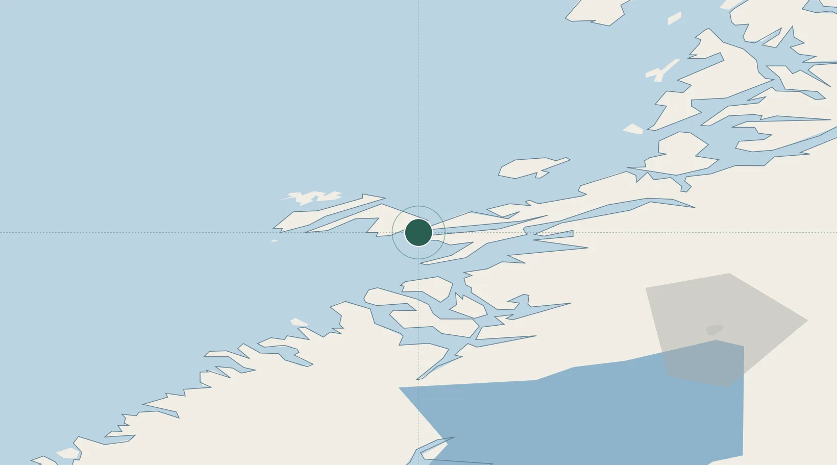
Nearby Logistics Neighbours

Cities
  1. 1Ottersøya2 km
  2. 2Ottersøy3 km
  3. 3Abelvær13 km
  4. 4Salsbruket31 km
  5. 5Utvorda31 km
Nearest neighbours — logibook spatial index (haversine) over the source coordinates
Ports
  1. 1Salsbruket30 km
  2. 2Namsos46 km
  3. 3Berg73 km
  4. 4Bronnoysund82 km
  5. 5Malm87 km
Nearest neighbours — logibook spatial index (haversine) over the source coordinates
Airports
  1. 1Rørvik Airport, Ryum4 km
  2. 2Namsos Airport45 km
  3. 3Brønnøysund Airport, Brønnøy82 km
  4. 4Sandnessjøen Airport, Stokka136 km
  5. 5Mosjøen Airport, Kjærstad139 km
Nearest neighbours — logibook spatial index (haversine) over the source coordinates
Trade Zones
  1. 1Stockholm Free Zone708 km
  2. 2Turku Free Zone743 km
  3. 3Gothenburg Boundless Customs Warehouse795 km
  4. 4Jönköping Free Zone802 km
  5. 5Freeport of Hanko818 km
Nearest neighbours — logibook spatial index (haversine) over the source coordinates
DatabookThe Record of Consolidated Knowledge
Norway beyond logistics?
Browse databook

All Sources

LocationsUN/LOCODE
UN/LOCODE — free
Portsthe NGA World Port Index
Public domain (US gov)
AirportsOurAirports
Public domain
Trade Zonesthe World Bank SEZ database
CC BY 4.0
Trade ZonesOpen Zone Map
CC BY
← Norway locations