Channel & Berth Profile
Pilotage, Tugs & Services
Pilotage compulsoryYES
Pilotage availableYES
Pilotage advisableYES
Tug assistanceYES
Potable waterYES
Diesel bunkersYES
MedicalYES
Garbage disposalYES
Facilities & Capabilities
Container—
Ro-Ro—
Liquid bulk—
Dry bulk—
Oil terminal—
Break bulk—
Dry dock—
RepairsNO
BunkeringYES
Rail linkYES
Dangerous cargo—
ISPS security—
Harbour Specifications
Harbour size
Very Small
Harbour type
Coastal (Breakwater)
Shelter
Fair
Water body
Norwegian Sea; North Atlantic Ocean
Tidal range
2 m
Overhead limit
Yes
Pilotage
Yes
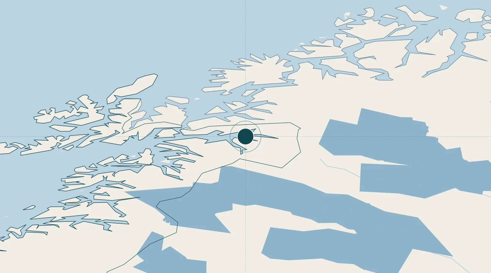
Location
Nearby Logistics Neighbours
Ports
- 1Lilandsgrunnen22 km
- 2Litle Ballangen23 km
- 3Ulvik50 km
- 4Sjovegan53 km
- 5Harstad55 km
Cities
- 1Bjerkvik16 km
- 2Bogen20 km
- 3Hekkelstrand23 km
- 4Ballangen25 km
- 5Grovfjord31 km
Airports
- 1Harstad/Narvik Airport31 km
- 2Bardufoss Airport84 km
- 3Stokmarknes Airport, Skagen98 km
- 4Andøya Airport, Andenes110 km
- 5Svolvær Airport, Helle114 km
Trade Zones
- 1Oulu Port Free Warehouse Area518 km
- 2Turku Free Zone916 km
- 3Free Zone of Lappeenranta962 km
- 4Freeport of Hanko991 km
- 5Port of Hamina-Kotka993 km
DatabookThe Record of Consolidated Knowledge
Norway beyond logistics?