UN/LOCODE hub · Norway
NOBOG

Bogen

68.5167°, 16.9833°
395
Population
2
Transport functions

Transport Functions

Port
Road
UN/LOCODE

Hub Profile

Place type
Provincial seat
GeoNames
Region
Nordland
GeoNames
Population
395
GeoNames
Time zone
Europe/Oslo
GeoNames
Elevation
27 m
GeoNames

Location

Location of NOBOG
Natural Earth 10m (public domain) · Nordland · NOBOG · 68.52, 16.98GoogleOSMYandex

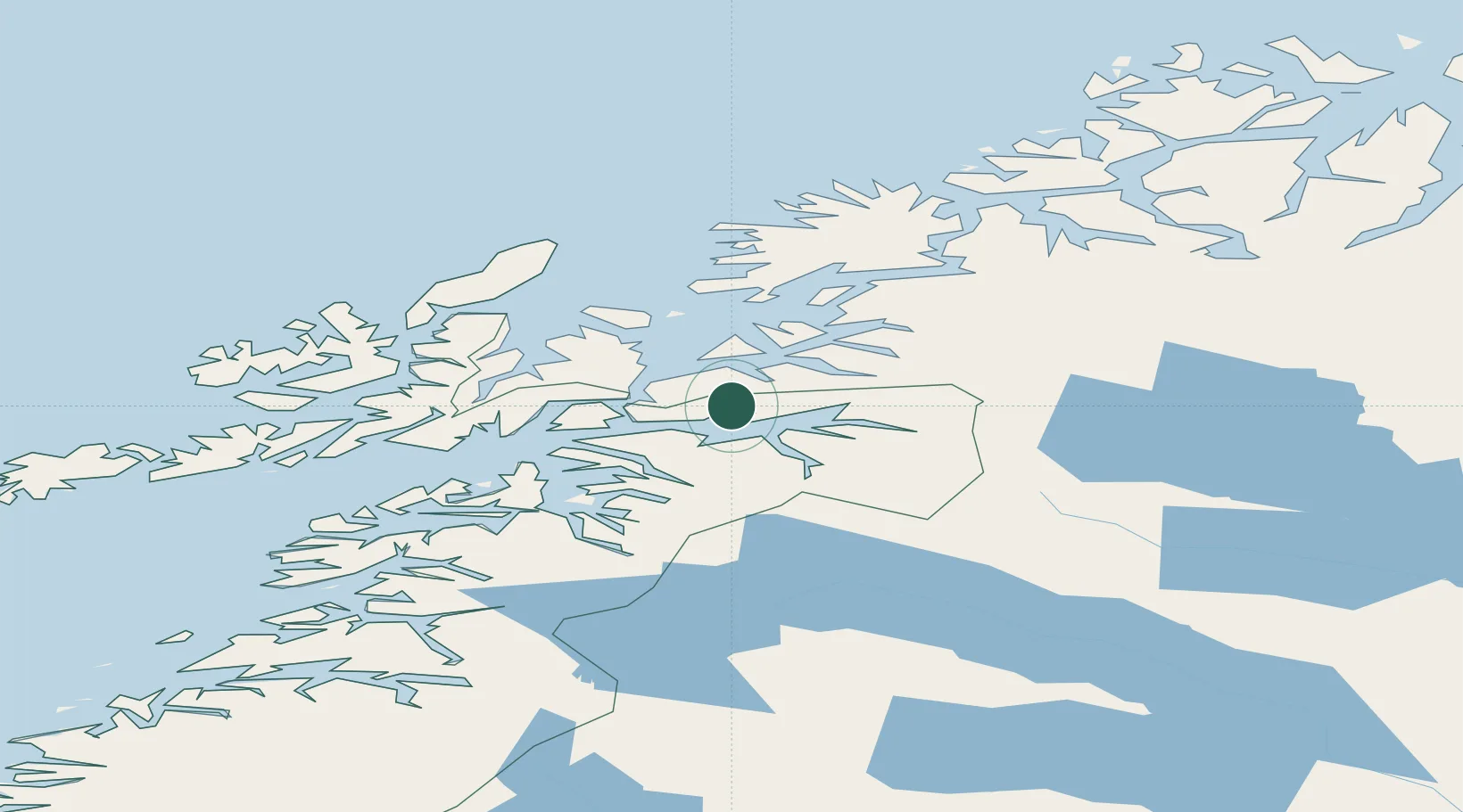
Nearby Logistics Neighbours

Cities
  1. 1Hekkelstrand14 km
  2. 2Tovik19 km
  3. 3Grovfjord19 km
  4. 4Fjelldal20 km
  5. 5Ramsund20 km
Nearest neighbours — logibook spatial index (haversine) over the source coordinates
Ports
  1. 1Lilandsgrunnen6 km
  2. 2Litle Ballangen19 km
  3. 3Narvik20 km
  4. 4Ulvik31 km
  5. 5Harstad36 km
Nearest neighbours — logibook spatial index (haversine) over the source coordinates
Airports
  1. 1Harstad/Narvik Airport13 km
  2. 2Stokmarknes Airport, Skagen80 km
  3. 3Bardufoss Airport87 km
  4. 4Andøya Airport, Andenes93 km
  5. 5Svolvær Airport, Helle100 km
Nearest neighbours — logibook spatial index (haversine) over the source coordinates
Trade Zones
  1. 1Oulu Port Free Warehouse Area538 km
  2. 2Turku Free Zone931 km
  3. 3Free Zone of Lappeenranta981 km
  4. 4Freeport of Hanko1006 km
  5. 5Port of Hamina-Kotka1011 km
Nearest neighbours — logibook spatial index (haversine) over the source coordinates
DatabookThe Record of Consolidated Knowledge
Norway beyond logistics?
Browse databook

All Sources

LocationsUN/LOCODE
UN/LOCODE — free
LocationsGeoNames
CC BY 4.0
Portsthe NGA World Port Index
Public domain (US gov)
AirportsOurAirports
Public domain
Trade Zonesthe World Bank SEZ database
CC BY 4.0
Trade ZonesOpen Zone Map
CC BY
← Norway locations