UN/LOCODE hub · Norway
NONVK

Narvik

68.4167°, 17.4167°
14,141
Population
4
Transport functions

Transport Functions

Port
Rail
Road
Airport
Narvik is also a profiled seaport →
UN/LOCODE

Hub Profile

Place type
Provincial seat
GeoNames
Region
Nordland
GeoNames
Population
14,141
GeoNames
Time zone
Europe/Oslo
GeoNames
Elevation
100 m
GeoNames

Location

Location of NONVK
Natural Earth 10m (public domain) · Nordland · NONVK · 68.42, 17.42GoogleOSMYandex

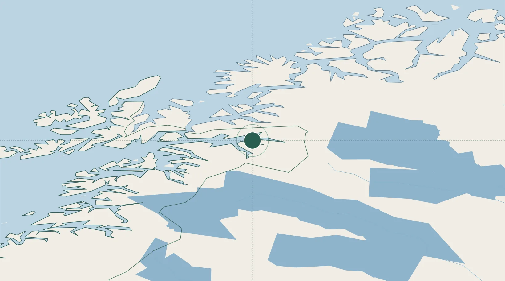
Nearby Logistics Neighbours

Cities
  1. 1Bjerkvik16 km
  2. 2Bogen21 km
  3. 3Hekkelstrand24 km
  4. 4Ballangen26 km
  5. 5Grovfjord32 km
Nearest neighbours — logibook spatial index (haversine) over the source coordinates
Ports
  1. 1Lilandsgrunnen23 km
  2. 2Litle Ballangen24 km
  3. 3Ulvik51 km
  4. 4Sjovegan54 km
  5. 5Harstad55 km
Nearest neighbours — logibook spatial index (haversine) over the source coordinates
Airports
  1. 1Harstad/Narvik Airport31 km
  2. 2Bardufoss Airport84 km
  3. 3Stokmarknes Airport, Skagen99 km
  4. 4Andøya Airport, Andenes110 km
  5. 5Svolvær Airport, Helle114 km
Nearest neighbours — logibook spatial index (haversine) over the source coordinates
Trade Zones
  1. 1Oulu Port Free Warehouse Area517 km
  2. 2Turku Free Zone915 km
  3. 3Free Zone of Lappeenranta962 km
  4. 4Freeport of Hanko990 km
  5. 5Port of Hamina-Kotka992 km
Nearest neighbours — logibook spatial index (haversine) over the source coordinates
DatabookThe Record of Consolidated Knowledge
Norway beyond logistics?
Browse databook

All Sources

LocationsUN/LOCODE
UN/LOCODE — free
LocationsGeoNames
CC BY 4.0
Portsthe NGA World Port Index
Public domain (US gov)
AirportsOurAirports
Public domain
Trade Zonesthe World Bank SEZ database
CC BY 4.0
Trade ZonesOpen Zone Map
CC BY
← Norway locations