UN/LOCODE hub · Norway
NOHEK

Hekkelstrand

68.4000°, 16.8333°
1
Transport functions

Transport Functions

Port
UN/LOCODE

Hub Profile

Region
18
GeoNames

Location

Location of NOHEK
Natural Earth 10m (public domain) · 18 · NOHEK · 68.40, 16.83GoogleOSMYandex

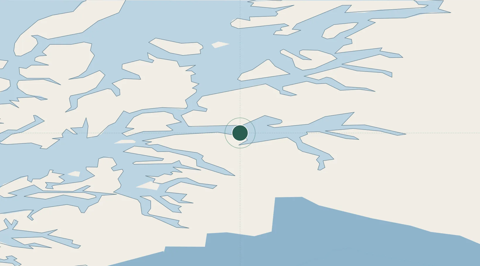
Nearby Logistics Neighbours

Cities
  1. 1Ballangen7 km
  2. 2Bogen14 km
  3. 3Ramsund17 km
  4. 4Fjelldal22 km
  5. 5Narvik24 km
Nearest neighbours — logibook spatial index (haversine) over the source coordinates
Ports
  1. 1Litle Ballangen6 km
  2. 2Lilandsgrunnen9 km
  3. 3Narvik23 km
  4. 4Ulvik30 km
  5. 5Lodingen34 km
Nearest neighbours — logibook spatial index (haversine) over the source coordinates
Airports
  1. 1Harstad/Narvik Airport12 km
  2. 2Stokmarknes Airport, Skagen76 km
  3. 3Svolvær Airport, Helle91 km
  4. 4Bardufoss Airport100 km
  5. 5Andøya Airport, Andenes103 km
Nearest neighbours — logibook spatial index (haversine) over the source coordinates
Trade Zones
  1. 1Oulu Port Free Warehouse Area534 km
  2. 2Turku Free Zone921 km
  3. 3Free Zone of Lappeenranta975 km
  4. 4Freeport of Hanko996 km
  5. 5Port of Hamina-Kotka1004 km
Nearest neighbours — logibook spatial index (haversine) over the source coordinates
DatabookThe Record of Consolidated Knowledge
Norway beyond logistics?
Browse databook

All Sources

LocationsUN/LOCODE
UN/LOCODE — free
Portsthe NGA World Port Index
Public domain (US gov)
AirportsOurAirports
Public domain
Trade Zonesthe World Bank SEZ database
CC BY 4.0
Trade ZonesOpen Zone Map
CC BY
← Norway locations