Channel & Berth Profile
Pilotage, Tugs & Services
Potable waterYES
MedicalYES
Facilities & Capabilities
Container—
Ro-Ro—
Liquid bulk—
Dry bulk—
Oil terminal—
Break bulk—
Dry dock—
Repairs—
Bunkering—
Rail link—
Dangerous cargo—
ISPS security—
Harbour Specifications
Harbour size
Very Small
Harbour type
Coastal (Natural)
Shelter
Good
Water body
Norwegian Sea; North Atlantic Ocean
Overhead limit
No
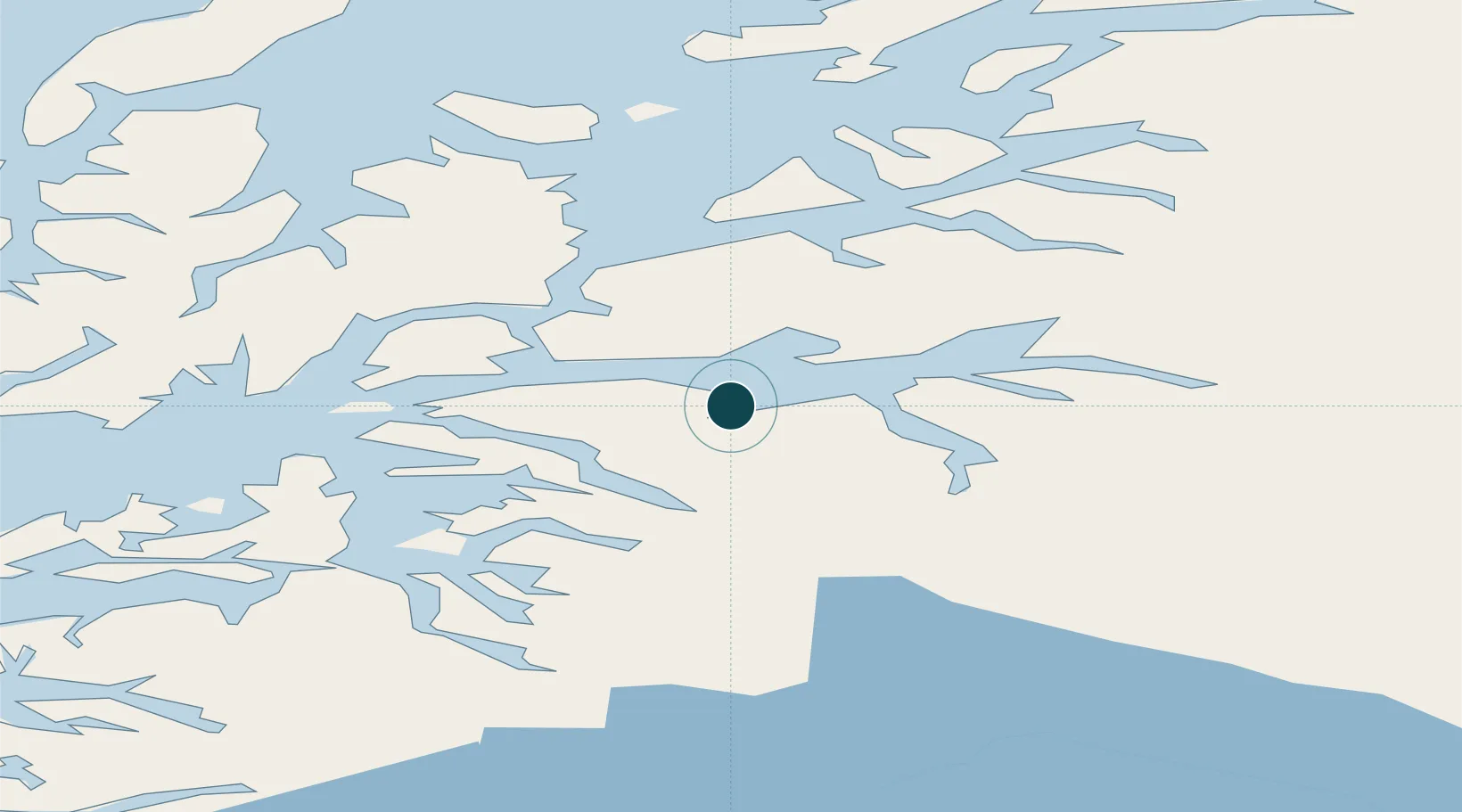
Location
Nearby Logistics Neighbours
Ports
- 1Lilandsgrunnen14 km
- 2Narvik23 km
- 3Ulvik35 km
- 4Lodingen37 km
- 5Drag47 km
Cities
- 1Hekkelstrand6 km
- 2Bogen19 km
- 3Ramsund21 km
- 4Narvik24 km
- 5Fjelldal27 km
Airports
- 1Harstad/Narvik Airport18 km
- 2Stokmarknes Airport, Skagen79 km
- 3Svolvær Airport, Helle91 km
- 4Bardufoss Airport104 km
- 5Andøya Airport, Andenes109 km
Trade Zones
- 1Oulu Port Free Warehouse Area529 km
- 2Turku Free Zone915 km
- 3Free Zone of Lappeenranta969 km
- 4Freeport of Hanko990 km
- 5Port of Hamina-Kotka998 km
DatabookThe Record of Consolidated Knowledge
Norway beyond logistics?