Transport Functions
Port
Road
Hub Profile
Place type
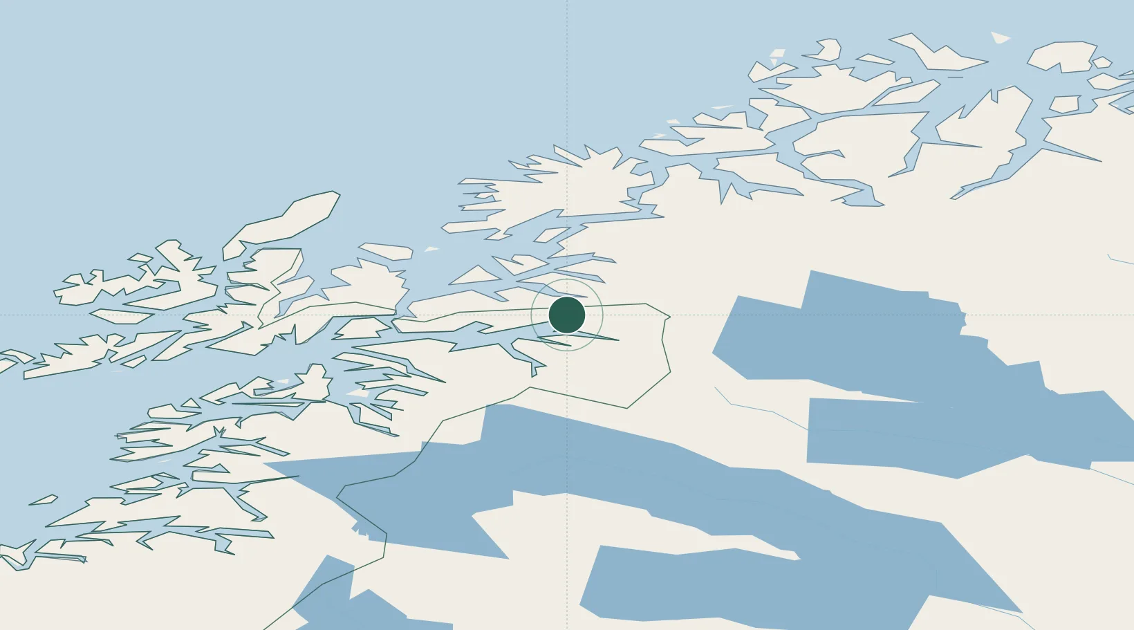
Populated place
Region
Nordland
Population
1,088
Time zone
Europe/Oslo
Location
Nearby Logistics Neighbours
Ports
- 1Narvik16 km
- 2Lilandsgrunnen28 km
- 3Litle Ballangen36 km
- 4Sjovegan38 km
- 5Harstad49 km
Airports
- 1Harstad/Narvik Airport36 km
- 2Bardufoss Airport69 km
- 3Andøya Airport, Andenes100 km
- 4Stokmarknes Airport, Skagen102 km
- 5Svolvær Airport, Helle123 km
Trade Zones
- 1Oulu Port Free Warehouse Area524 km
- 2Turku Free Zone928 km
- 3Free Zone of Lappeenranta970 km
- 4Port of Hamina-Kotka1002 km
- 5Freeport of Hanko1003 km
DatabookThe Record of Consolidated Knowledge
Norway beyond logistics?