Transport Functions
Port
Road
Multimodal
Hub Profile
Region
18
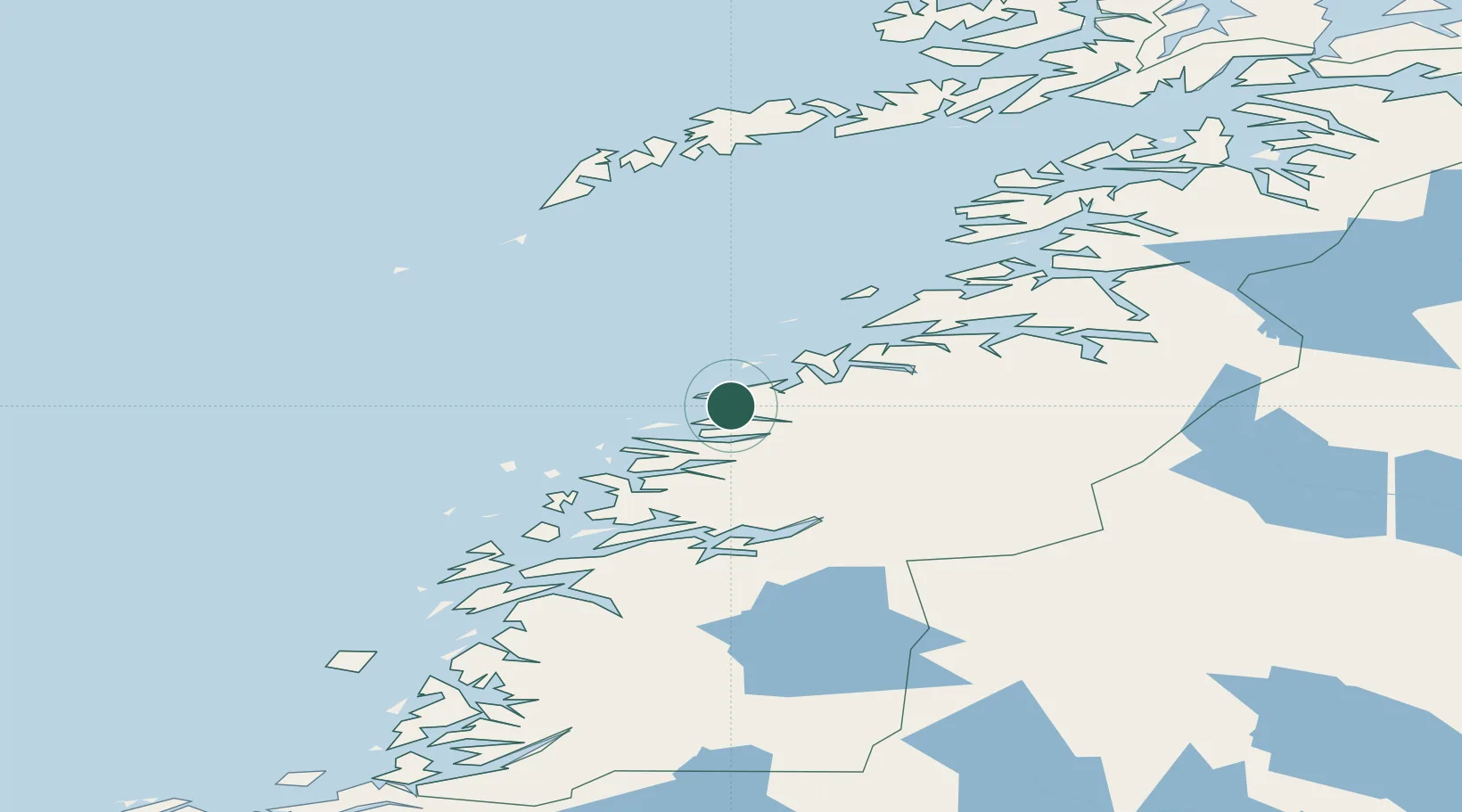
Location
Nearby Logistics Neighbours
Cities
- 1Glomfjord13 km
- 2Forøy17 km
- 3Halsa Meløy17 km
- 4Kilvik17 km
- 5Ågskardet19 km
Ports
- 1Glomfjord14 km
- 2Bodo55 km
- 3Mo I Rana63 km
- 4Hemnesberget71 km
- 5Rognan79 km
Airports
- 1Bodø Airport53 km
- 2Mo i Rana Airport, Røssvoll62 km
- 3Værøy Heliport97 km
- 4Røst Airport101 km
- 5Sandnessjøen Airport, Stokka115 km
Trade Zones
- 1Oulu Port Free Warehouse Area569 km
- 2Turku Free Zone827 km
- 3Stockholm Free Zone864 km
- 4Freeport of Hanko905 km
- 5Paldiski Free Zone984 km
DatabookThe Record of Consolidated Knowledge
Norway beyond logistics?