Seaport · Norway
Mo I RanaNOMQN
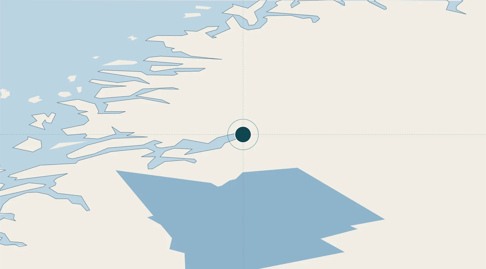
66.3244°, 14.1222°
23.2 m
Channel depth
1
Container terminals
19.9
Port liner connectivity
Channel & Berth Profile
Pilotage, Tugs & Services
Pilotage compulsoryYES
Pilotage availableYES
Pilotage advisableYES
Tug assistanceYES
Potable waterYES
Diesel bunkersYES
MedicalYES
Facilities & Capabilities
ContainerYES
Ro-RoYES
Liquid bulkYES
Dry bulkYES
Oil terminal—
Break bulkYES
Dry dock—
RepairsNO
BunkeringYES
Rail linkYES
Dangerous cargo—
ISPS security—
Harbour Specifications
Harbour size
Small
Harbour type
Open Roadstead
Shelter
Excellent
Water body
Norwegian Sea; North Atlantic Ocean
Tidal range
2 m
Overhead limit
No
Pilotage
Yes
Liner Connectivity
19.9
PLSCI
Port Liner Shipping Connectivity Index for Mo I Rana, as published by UNCTAD for the latest available quarter. Higher values indicate stronger scheduled liner-shipping integration.
Shown relative to the highest per-port PLSCI in the dataset (1,657.9).
Location
Container Terminals · 1
MO I RANA KOMBI TERMINAL
MKT MO I RANA HAVN KF
Nearby Logistics Neighbours
Ports
- 1Hemnesberget25 km
- 2Nesna52 km
- 3Glomfjord54 km
- 4Ornes63 km
- 5Mosjoen67 km
Cities
- 1Finneidfjord22 km
- 2Bjerka22 km
- 3Hemnesberget24 km
- 4Seljeli32 km
- 5Austvika43 km
Airports
- 1Mo i Rana Airport, Røssvoll9 km
- 2Hemavan Airport72 km
- 3Mosjøen Airport, Kjærstad73 km
- 4Sandnessjøen Airport, Stokka85 km
- 5Bodø Airport106 km
Trade Zones
- 1Oulu Port Free Warehouse Area537 km
- 2Turku Free Zone767 km
- 3Stockholm Free Zone801 km
- 4Freeport of Hanko845 km
- 5Port of Hamina-Kotka908 km
DatabookThe Record of Consolidated Knowledge
Norway beyond logistics?