Medium airport · Norway
Sandnessjøen Airport, StokkaENST
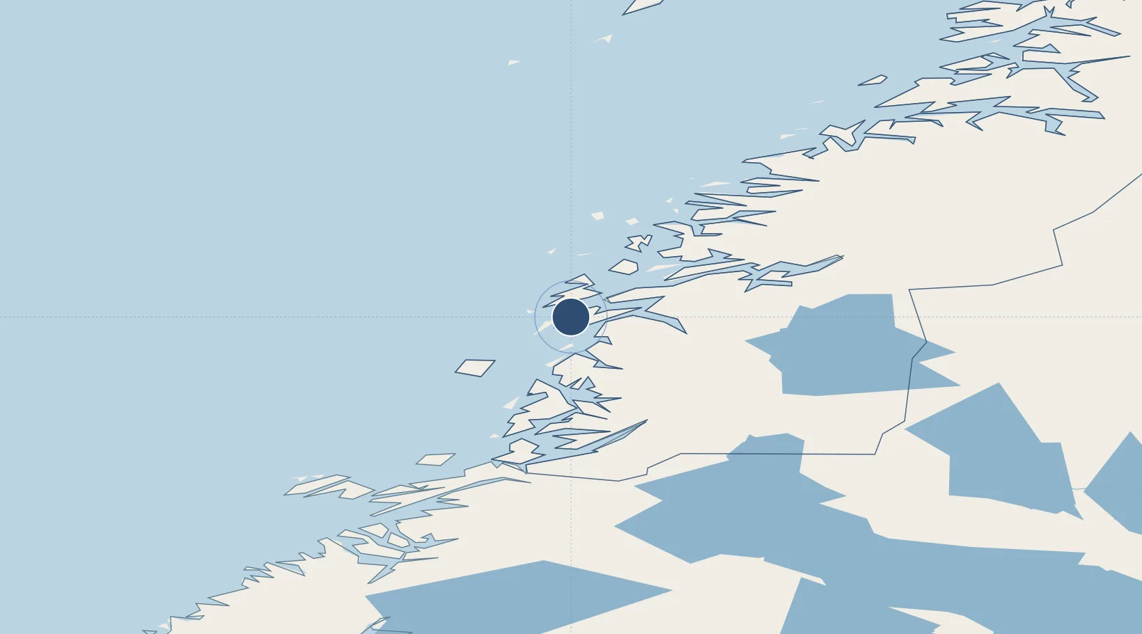
65.9568°, 12.4689°
4,619 ft
Longest runway
1
Runways
56 ft
Elevation
Runway & Layout

Radio Frequencies
GND
121.9 MHz
AFIS
120.3 MHz
Navaids
STO VOR-DME Stokka 112.00 MHz
Runways · 1
| Runway | Dimensions | Surface | True heading | Lit |
|---|---|---|---|---|
| 02/20 | 4,619 × 98ft | Asphalt | 025° | ✓ |
Airport Specifications
IATA code
SSJ
ICAO code
ENST
Airport class
Medium airport
Scheduled service
Yes
Runway surface
Asphalt
Served city
Alstahaug
Location
Nearby Logistics Neighbours
Airports
- 1Mosjøen Airport, Kjærstad39 km
- 2Brønnøysund Airport, Brønnøy56 km
- 3Mo i Rana Airport, Røssvoll94 km
- 4Hemavan Airport120 km
- 5Rørvik Airport, Ryum139 km
Cities
- 1Herøy8 km
- 2Botn - Sandnessjøen10 km
- 3Sandnessjøen10 km
- 4Tjøtta16 km
- 5Leirfjord24 km
Ports
- 1Sandnessjoen11 km
- 2Tjotta15 km
- 3Mosjoen34 km
- 4Nesna37 km
- 5Bronnoysund56 km
Trade Zones
- 1Turku Free Zone782 km
- 2Stockholm Free Zone789 km
- 3Freeport of Hanko860 km
- 4Jönköping Free Zone915 km
- 5Gothenburg Boundless Customs Warehouse918 km
DatabookThe Record of Consolidated Knowledge
Norway beyond logistics?