Transport Functions
Port
Hub Profile
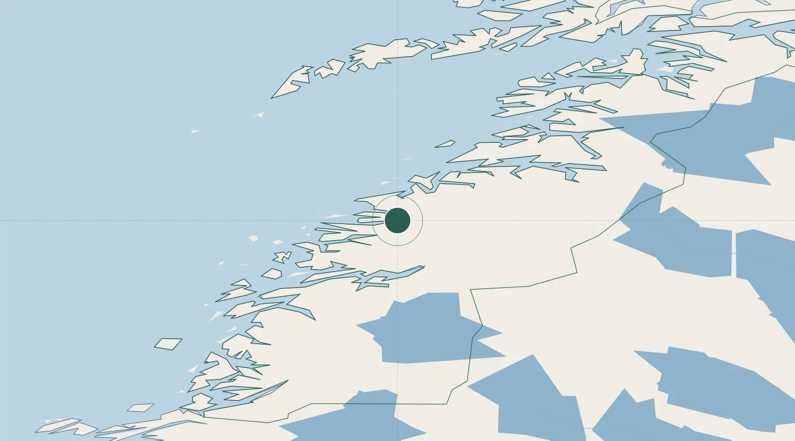
Place type
Populated place
Region
Nordland
Time zone
Europe/Oslo
Elevation
40 m
Location
Nearby Logistics Neighbours
Cities
- 1Glomfjord8 km
- 2Forøy17 km
- 3Halsa Meløy17 km
- 4Ørnes17 km
- 5Ågskardet18 km
Ports
- 1Glomfjord9 km
- 2Ornes17 km
- 3Mo I Rana47 km
- 4Hemnesberget57 km
- 5Bodo65 km
Airports
- 1Mo i Rana Airport, Røssvoll45 km
- 2Bodø Airport63 km
- 3Sandnessjøen Airport, Stokka107 km
- 4Mosjøen Airport, Kjærstad110 km
- 5Værøy Heliport114 km
Trade Zones
- 1Oulu Port Free Warehouse Area557 km
- 2Turku Free Zone810 km
- 3Stockholm Free Zone848 km
- 4Freeport of Hanko888 km
- 5Paldiski Free Zone967 km
DatabookThe Record of Consolidated Knowledge
Norway beyond logistics?