UN/LOCODE hub · Norway
NOHSA

Halsa Meløy

66.7333°, 13.5167°
1
Transport functions

Transport Functions

Port
UN/LOCODE

Hub Profile

Region
18
GeoNames

Location

Location of NOHSA
Natural Earth 10m (public domain) · 18 · NOHSA · 66.73, 13.52GoogleOSMYandex

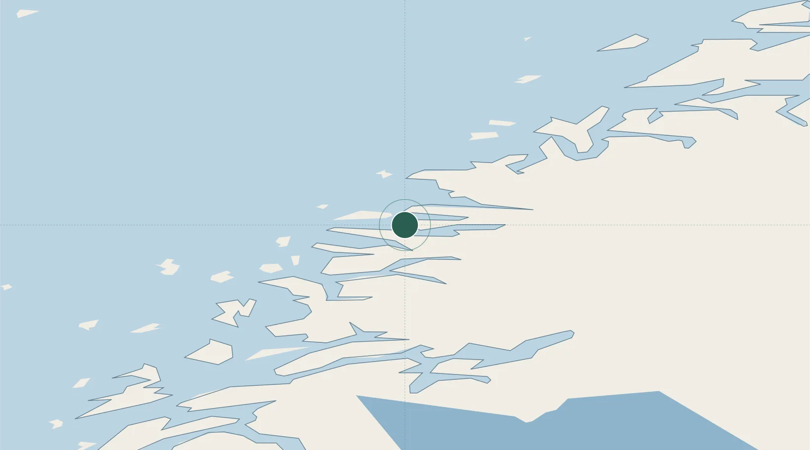
Nearby Logistics Neighbours

Cities
  1. 1Forøy0 km
  2. 2Ågskardet2 km
  3. 3Vågaholmen10 km
  4. 4Kilvik17 km
  5. 5Ørnes17 km
Nearest neighbours — logibook spatial index (haversine) over the source coordinates
Ports
  1. 1Ornes17 km
  2. 2Glomfjord22 km
  3. 3Mo I Rana53 km
  4. 4Hemnesberget56 km
  5. 5Nesna63 km
Nearest neighbours — logibook spatial index (haversine) over the source coordinates
Airports
  1. 1Mo i Rana Airport, Røssvoll54 km
  2. 2Bodø Airport70 km
  3. 3Sandnessjøen Airport, Stokka98 km
  4. 4Mosjøen Airport, Kjærstad106 km
  5. 5Røst Airport107 km
Nearest neighbours — logibook spatial index (haversine) over the source coordinates
Trade Zones
  1. 1Oulu Port Free Warehouse Area573 km
  2. 2Turku Free Zone819 km
  3. 3Stockholm Free Zone853 km
  4. 4Freeport of Hanko897 km
  5. 5Paldiski Free Zone977 km
Nearest neighbours — logibook spatial index (haversine) over the source coordinates
DatabookThe Record of Consolidated Knowledge
Norway beyond logistics?
Browse databook

All Sources

LocationsUN/LOCODE
UN/LOCODE — free
Portsthe NGA World Port Index
Public domain (US gov)
AirportsOurAirports
Public domain
Trade Zonesthe World Bank SEZ database
CC BY 4.0
Trade ZonesOpen Zone Map
CC BY
← Norway locations