Transport Functions
Port
Hub Profile
Place type
Populated place
Region
Nordland
Time zone
Europe/Oslo
Elevation
1 m
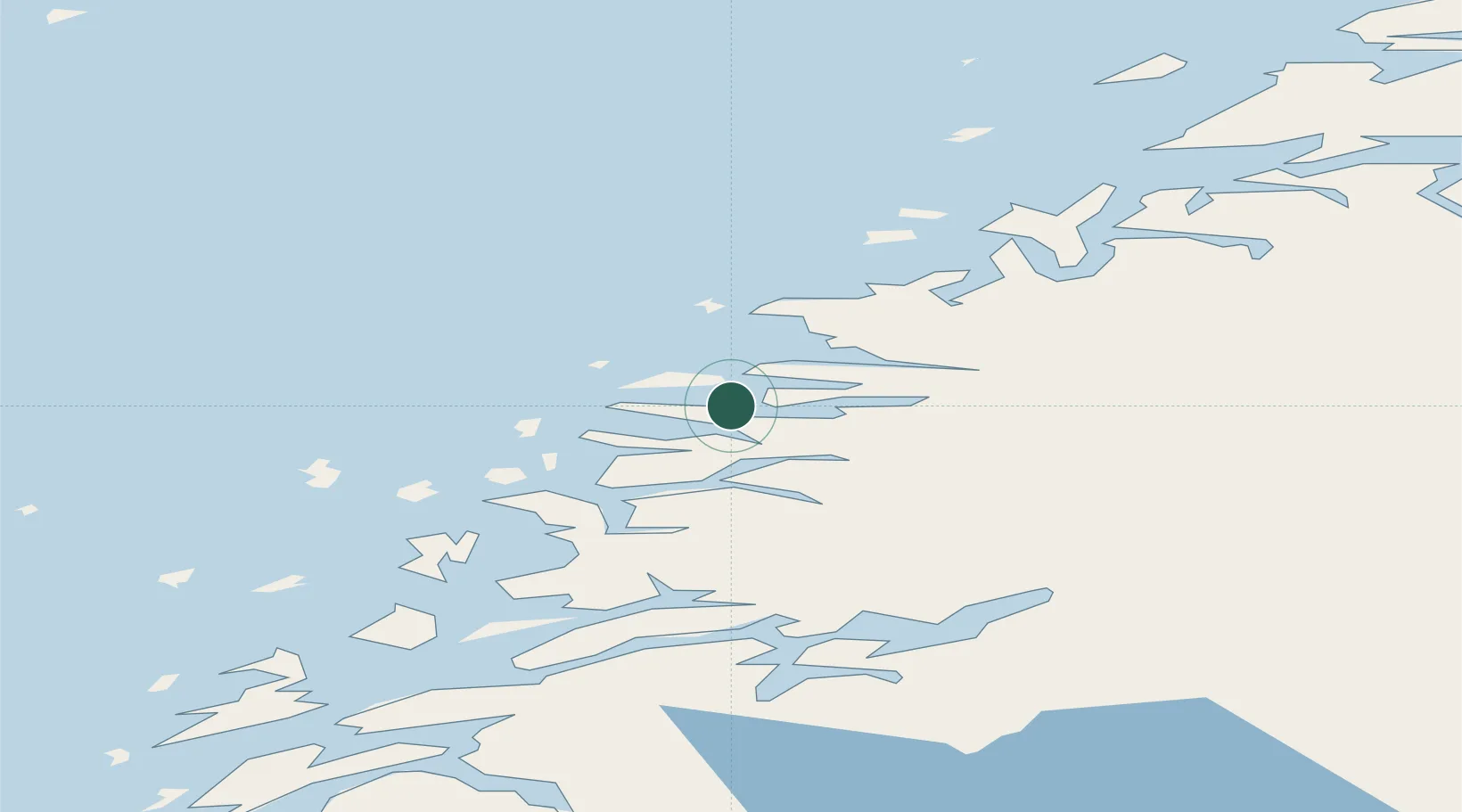
Location
Nearby Logistics Neighbours
Cities
- 1Forøy2 km
- 2Halsa Meløy2 km
- 3Vågaholmen9 km
- 4Kilvik18 km
- 5Ørnes19 km
Ports
- 1Ornes19 km
- 2Glomfjord24 km
- 3Mo I Rana52 km
- 4Hemnesberget54 km
- 5Nesna61 km
Airports
- 1Mo i Rana Airport, Røssvoll53 km
- 2Bodø Airport72 km
- 3Sandnessjøen Airport, Stokka96 km
- 4Mosjøen Airport, Kjærstad104 km
- 5Røst Airport108 km
Trade Zones
- 1Oulu Port Free Warehouse Area574 km
- 2Turku Free Zone819 km
- 3Stockholm Free Zone851 km
- 4Freeport of Hanko897 km
- 5Paldiski Free Zone977 km
DatabookThe Record of Consolidated Knowledge
Norway beyond logistics?