Transport Functions
Port
Road
Hub Profile
Place type
Populated place
Region
Nordland
Population
1,089
Time zone
Europe/Oslo
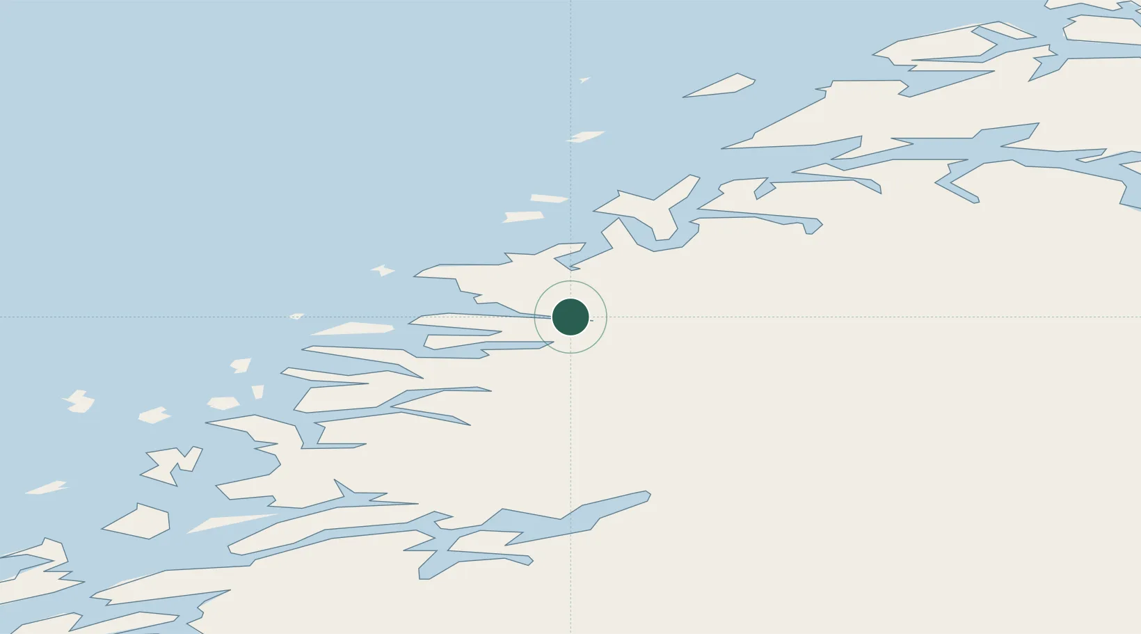
Location
Nearby Logistics Neighbours
Cities
- 1Kilvik8 km
- 2Ørnes13 km
- 3Forøy20 km
- 4Halsa Meløy20 km
- 5Ågskardet22 km
Ports
- 1Ornes12 km
- 2Mo I Rana54 km
- 3Bodo57 km
- 4Hemnesberget65 km
- 5Rognan72 km
Airports
- 1Mo i Rana Airport, Røssvoll51 km
- 2Bodø Airport55 km
- 3Værøy Heliport108 km
- 4Røst Airport113 km
- 5Sandnessjøen Airport, Stokka114 km
Trade Zones
- 1Oulu Port Free Warehouse Area558 km
- 2Turku Free Zone815 km
- 3Stockholm Free Zone854 km
- 4Freeport of Hanko893 km
- 5Paldiski Free Zone972 km
DatabookThe Record of Consolidated Knowledge
Norway beyond logistics?