Transport Functions
Port
Road
Hub Profile
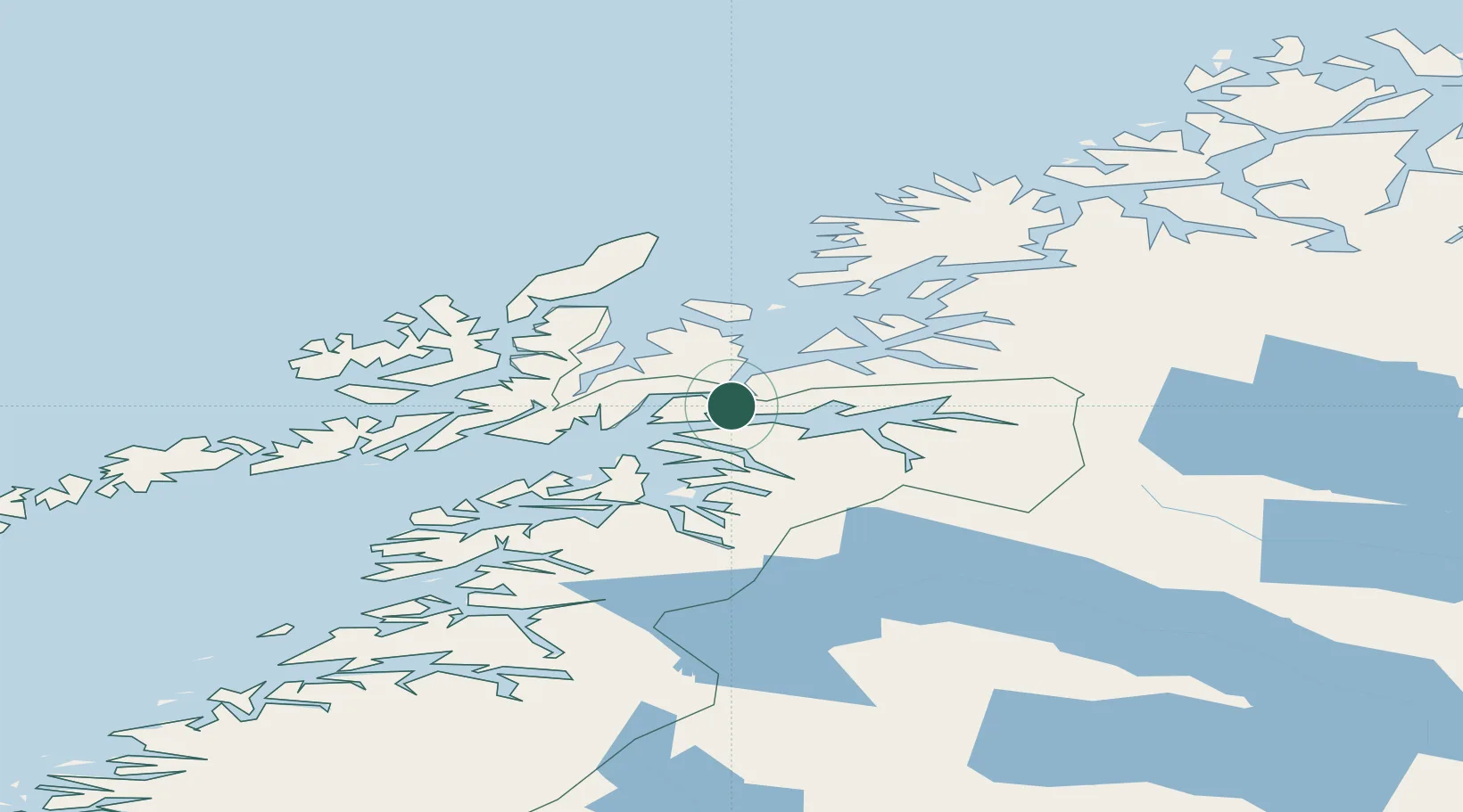
Place type
Populated place
Region
Troms
Population
289
Time zone
Europe/Oslo
Elevation
60 m
Location
Nearby Logistics Neighbours
Cities
- 1Fjelldal7 km
- 2Hekkelstrand17 km
- 3Bogen20 km
- 4Ballangen22 km
- 5Lødingen22 km
Ports
- 1Ulvik14 km
- 2Lilandsgrunnen16 km
- 3Litle Ballangen21 km
- 4Lodingen22 km
- 5Harstad35 km
Airports
- 1Harstad/Narvik Airport7 km
- 2Stokmarknes Airport, Skagen61 km
- 3Svolvær Airport, Helle80 km
- 4Andøya Airport, Andenes91 km
- 5Bardufoss Airport104 km
Trade Zones
- 1Oulu Port Free Warehouse Area550 km
- 2Turku Free Zone934 km
- 3Free Zone of Lappeenranta990 km
- 4Freeport of Hanko1010 km
- 5Stockholm Free Zone1019 km
DatabookThe Record of Consolidated Knowledge
Norway beyond logistics?