Transport Functions
Port
Road
Hub Profile
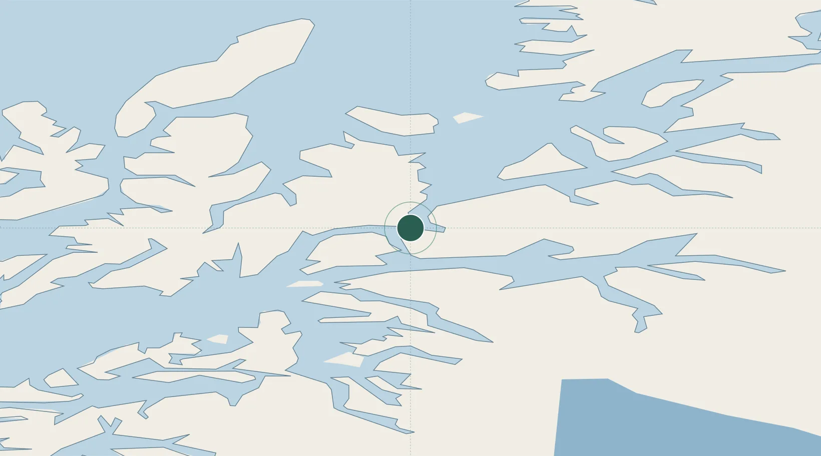
Place type
Populated place
Region
Troms
Population
334
Time zone
Europe/Oslo
Elevation
15 m
Location
Nearby Logistics Neighbours
Cities
- 1Ramsund7 km
- 2Bogen20 km
- 3Hekkelstrand22 km
- 4Tovik22 km
- 5Lødingen26 km
Ports
- 1Ulvik11 km
- 2Lilandsgrunnen18 km
- 3Lodingen25 km
- 4Litle Ballangen27 km
- 5Harstad28 km
Airports
- 1Harstad/Narvik Airport10 km
- 2Stokmarknes Airport, Skagen60 km
- 3Svolvær Airport, Helle82 km
- 4Andøya Airport, Andenes84 km
- 5Bardufoss Airport100 km
Trade Zones
- 1Oulu Port Free Warehouse Area555 km
- 2Turku Free Zone941 km
- 3Free Zone of Lappeenranta996 km
- 4Freeport of Hanko1017 km
- 5Port of Hamina-Kotka1025 km
DatabookThe Record of Consolidated Knowledge
Norway beyond logistics?