Transport Functions
Port
Rail
Road
Hub Profile
Place type
Populated place
Region
North Holland
Time zone
Europe/Amsterdam
Elevation
3 m
Logistics facilities
1
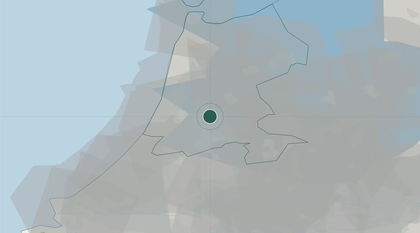
Location
Nearby Logistics Neighbours
Cities
- 1Zaanstad4 km
- 2Amsterdam4 km
- 3Den Lip6 km
- 4Zaandam7 km
- 5Haaldersbroek7 km
Ports
- 1Zaandam2 km
- 2Amsterdam7 km
- 3Ijmuiden19 km
- 4Scheveningen53 km
- 5Den Helder61 km
Airports
Trade Zones
- 1Freeport of Duisburg161 km
- 2Freeport of Emden187 km
- 3Rheinische Revier SWZ198 km
- 4ZFU Tourcoing222 km
- 5ZFU Hem et Roubaix225 km
DatabookThe Record of Consolidated Knowledge
Netherlands beyond logistics?