Transport Functions
Port
Road
Hub Profile
Place type
Urban district
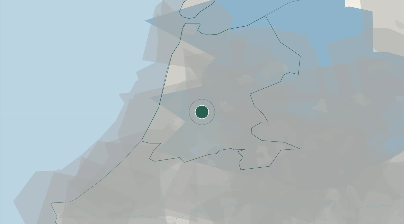
Region
North Holland
Time zone
Europe/Amsterdam
Elevation
0 m
Location
Nearby Logistics Neighbours
Ports
- 1Zaandam6 km
- 2Amsterdam14 km
- 3Ijmuiden17 km
- 4Den Helder54 km
- 5Scheveningen58 km
Airports
Trade Zones
- 1Freeport of Duisburg167 km
- 2Freeport of Emden184 km
- 3Rheinische Revier SWZ205 km
- 4ZFU Tourcoing227 km
- 5ZFU Hem et Roubaix230 km
DatabookThe Record of Consolidated Knowledge
Netherlands beyond logistics?