UN/LOCODE hub · Netherlands
NLZAA
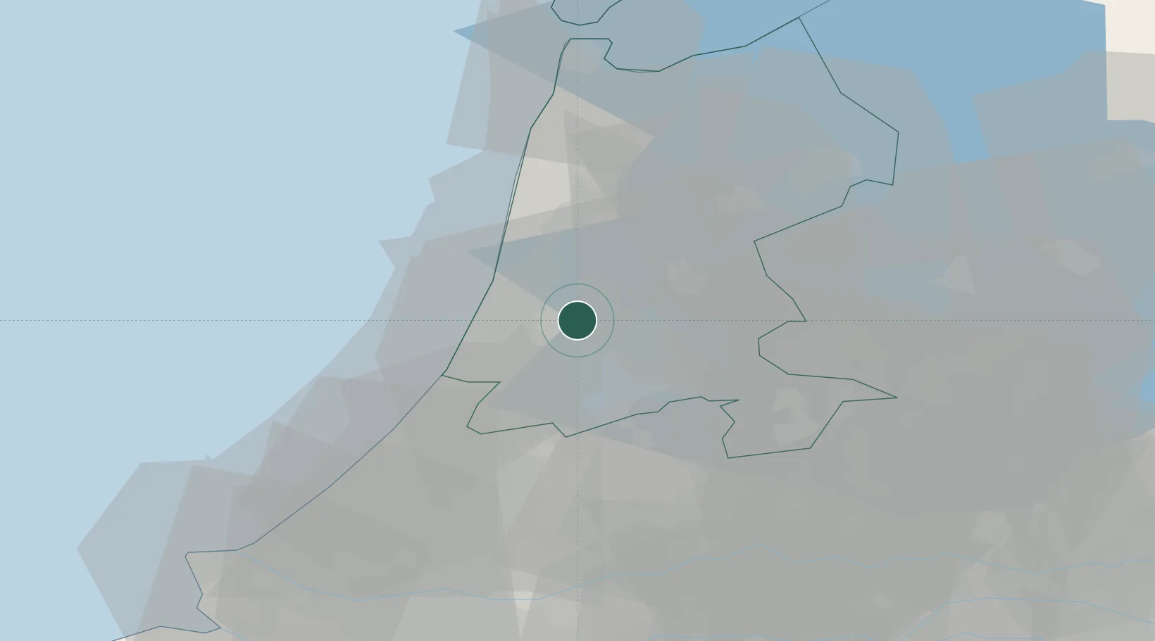
Zaandam
52.4306°, 4.7578°
71,708
Population
3
Transport functions
1
Container terminals
Transport Functions
Port
Rail
Road
Hub Profile
Place type
Populated place
Region
North Holland
Population
71,708
Time zone
Europe/Amsterdam
Elevation
-1 m
Logistics facilities
1
Container terminals
1
Location
Nearby Logistics Neighbours
Cities
- 1Amsterdam3 km
- 2Zaanstad6 km
- 3Westzaan7 km
- 4Haarlemmerliede7 km
- 5Haaldersbroek8 km
Ports
- 1Amsterdam12 km
- 2Ijmuiden13 km
- 3Scheveningen50 km
- 4Den Helder60 km
- 5Rotterdam62 km
Airports
Trade Zones
- 1Freeport of Duisburg167 km
- 2Freeport of Emden192 km
- 3Rheinische Revier SWZ203 km
- 4ZFU Tourcoing220 km
- 5ZFU Hem et Roubaix223 km
DatabookThe Record of Consolidated Knowledge
Netherlands beyond logistics?