UN/LOCODE hub · Netherlands
NLDIL

Den Lip

52.4500°, 4.9167°
1
Transport functions

Transport Functions

Multimodal
UN/LOCODE

Hub Profile

Region
NH
GeoNames

Location

Location of NLDIL
Natural Earth 10m (public domain) · NH · NLDIL · 52.45, 4.92GoogleOSMYandex

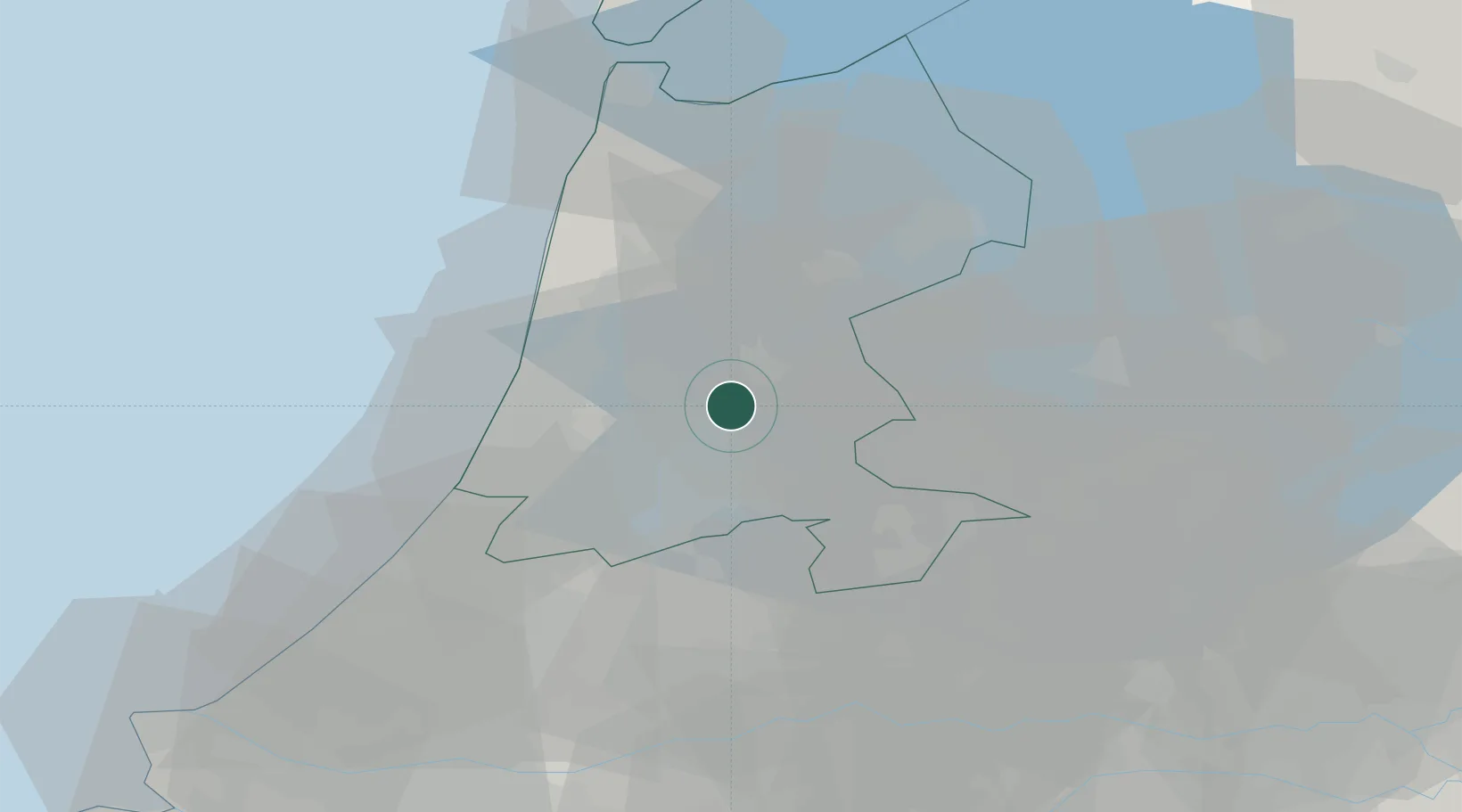
Nearby Logistics Neighbours

Cities
  1. 1Westzaan6 km
  2. 2Zaanstad6 km
  3. 3Haaldersbroek7 km
  4. 4Neck7 km
  5. 5Zuidoostbeemster8 km
Nearest neighbours — logibook spatial index (haversine) over the source coordinates
Ports
  1. 1Zaandam6 km
  2. 2Amsterdam9 km
  3. 3Ijmuiden23 km
  4. 4Den Helder58 km
  5. 5Scheveningen59 km
Nearest neighbours — logibook spatial index (haversine) over the source coordinates
Airports
  1. 1Amsterdam Airport Schiphol19 km
  2. 2Lelystad Airport41 km
  3. 3De Kooy Airfield / Den Helder Naval Air Station53 km
  4. 4Rotterdam The Hague Airport64 km
  5. 5Deelen Air Base78 km
Nearest neighbours — logibook spatial index (haversine) over the source coordinates
Trade Zones
  1. 1Freeport of Duisburg160 km
  2. 2Freeport of Emden182 km
  3. 3Rheinische Revier SWZ199 km
  4. 4ZFU Tourcoing227 km
  5. 5ZFU Hem et Roubaix230 km
Nearest neighbours — logibook spatial index (haversine) over the source coordinates
DatabookThe Record of Consolidated Knowledge
Netherlands beyond logistics?
Browse databook

All Sources

LocationsUN/LOCODE
UN/LOCODE — free
Portsthe NGA World Port Index
Public domain (US gov)
AirportsOurAirports
Public domain
Trade Zonesthe World Bank SEZ database
CC BY 4.0
Trade ZonesOpen Zone Map
CC BY
← Netherlands locations