Transport Functions
Multimodal
Hub Profile
Place type
Populated place
Region
North Holland
Population
140,085
Time zone
Europe/Amsterdam
Elevation
2 m
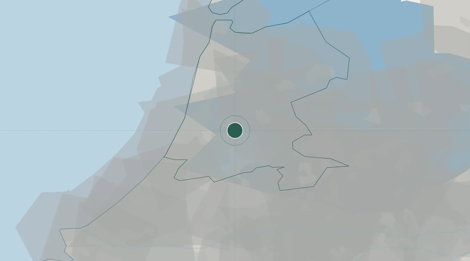
Location
Nearby Logistics Neighbours
Cities
- 1Haaldersbroek4 km
- 2Westzaan4 km
- 3Amsterdam5 km
- 4Zaandam6 km
- 5Den Lip6 km
Ports
- 1Zaandam2 km
- 2Amsterdam10 km
- 3Ijmuiden17 km
- 4Scheveningen55 km
- 5Den Helder58 km
Airports
Trade Zones
- 1Freeport of Duisburg164 km
- 2Freeport of Emden186 km
- 3Rheinische Revier SWZ202 km
- 4ZFU Tourcoing224 km
- 5ZFU Hem et Roubaix227 km
DatabookThe Record of Consolidated Knowledge
Netherlands beyond logistics?