Transport Functions
Port
Road
Hub Profile
Region
ZE
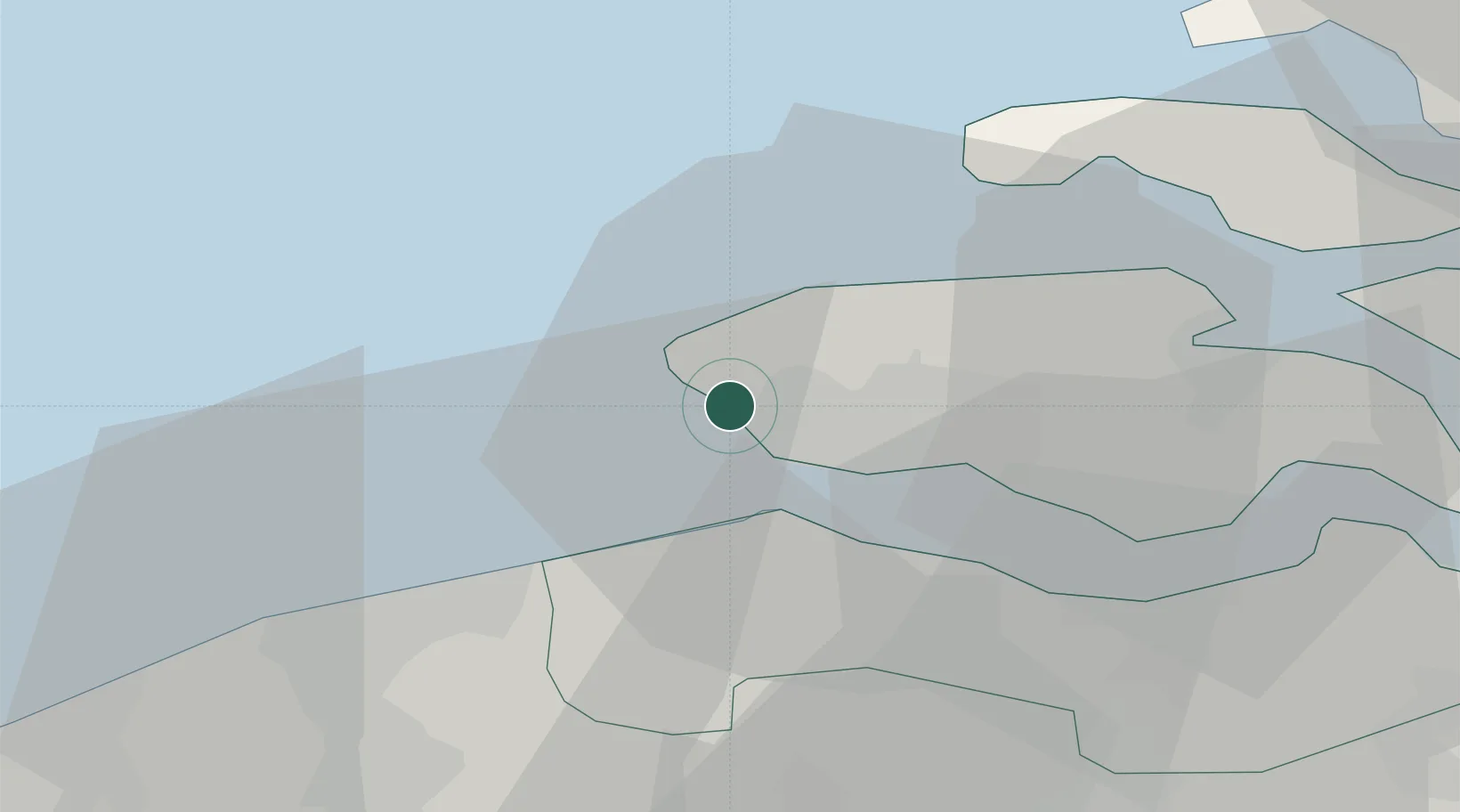
Location
Nearby Logistics Neighbours
Cities
- 1Zoutelande2 km
- 2Westkapelle5 km
- 3Domburg7 km
- 4Veere13 km
- 5Groede13 km
Ports
- 1Vlissingen9 km
- 2Terneuzen28 km
- 3Zeebrugge28 km
- 4Hansweert35 km
- 5Bruges36 km
Airports
Trade Zones
- 1ZFU Tourcoing90 km
- 2ZFU Hem et Roubaix93 km
- 3ZFU Saint Pol sur Mer96 km
- 4ZFU de Lille et de Loos103 km
- 5ZFU Condé sur lEscaut115 km
DatabookThe Record of Consolidated Knowledge
Netherlands beyond logistics?