Transport Functions
Port
Rail
Road
Hub Profile
Place type
Populated place
Region
North Holland
Population
59,569
Time zone
Europe/Amsterdam
Elevation
3 m
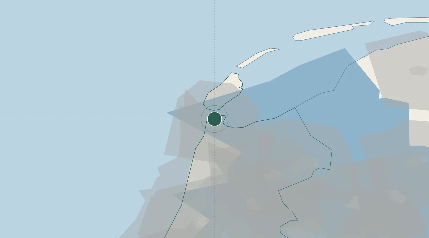
Location
Nearby Logistics Neighbours
Cities
- 1De Kooy4 km
- 2't Horntje6 km
- 3Oudeschild11 km
- 4Anna Paulowna11 km
- 5De Haukes13 km
Ports
- 1Harlingen51 km
- 2Ijmuiden55 km
- 3Zaandam58 km
- 4Amsterdam66 km
- 5Scheveningen100 km
Airports
Trade Zones
DatabookThe Record of Consolidated Knowledge
Netherlands beyond logistics?