Transport Functions
Port
Road
Hub Profile
Place type
Populated place
Region
North Brabant
Time zone
Europe/Amsterdam
Elevation
18 m
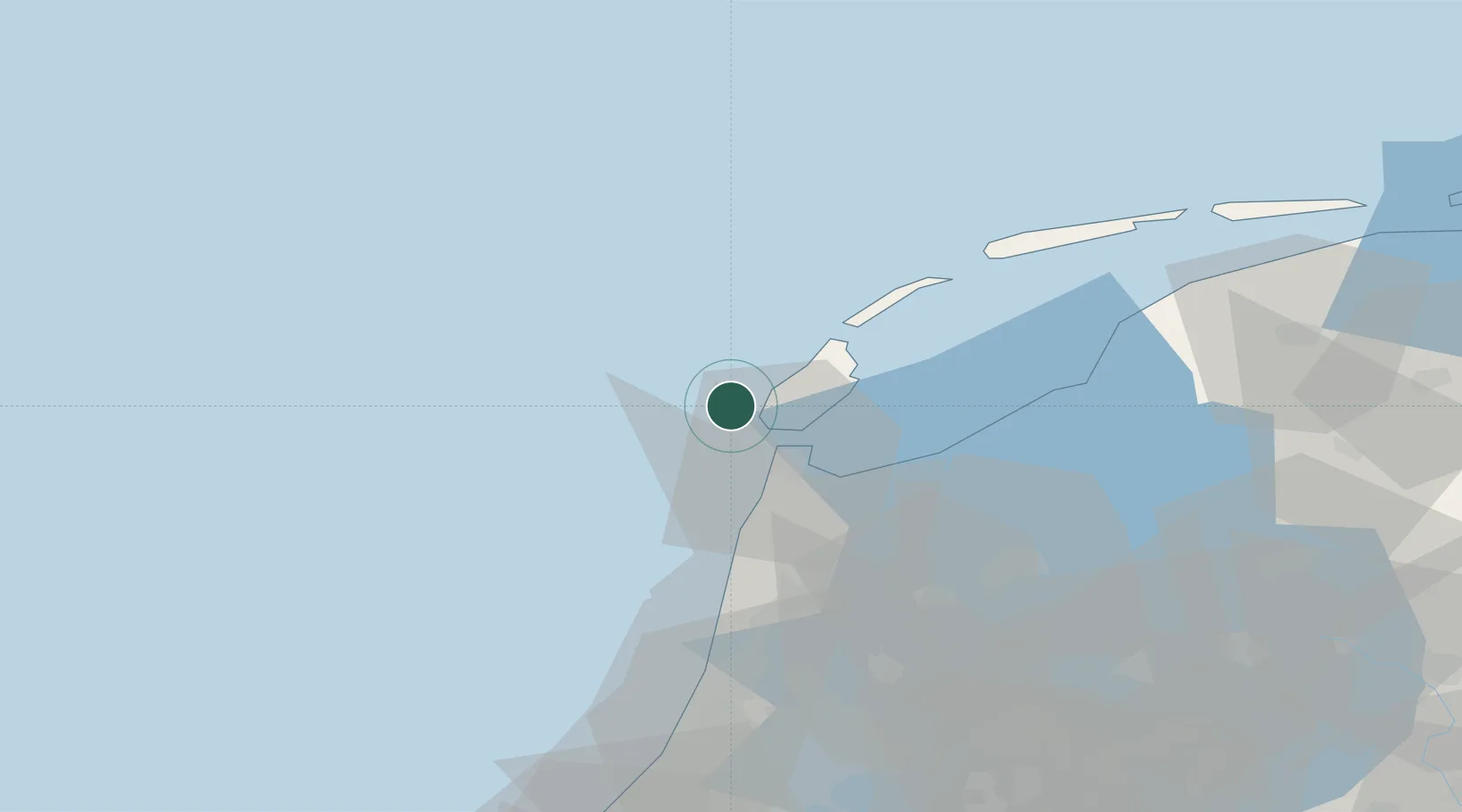
Location
Nearby Logistics Neighbours
Cities
- 1't Horntje11 km
- 2Den Helder14 km
- 3Oudeschild15 km
- 4De Kooy18 km
- 5De Cocksdorp19 km
Ports
- 1Den Helder13 km
- 2Harlingen53 km
- 3Ijmuiden65 km
- 4Zaandam70 km
- 5Amsterdam78 km
Airports
Trade Zones
- 1Freeport of Emden172 km
- 2Freeport of Duisburg222 km
- 3Rheinische Revier SWZ266 km
- 4Freeport of Cuxhaven (Freihafen Cuxhaven)273 km
- 5ZFU Saint Pol sur Mer275 km
DatabookThe Record of Consolidated Knowledge
Netherlands beyond logistics?