Transport Functions
Port
Road
Hub Profile
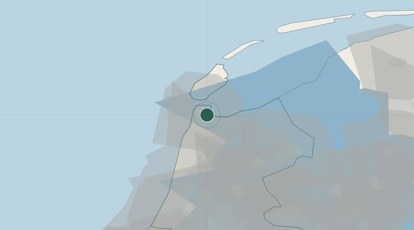
Place type
Populated place
Region
North Holland
Population
45
Time zone
Europe/Amsterdam
Elevation
1 m
Location
Nearby Logistics Neighbours
Cities
- 1Den Helder4 km
- 2Anna Paulowna7 km
- 3't Horntje9 km
- 4De Haukes10 km
- 5Stroe12 km
Ports
- 1Den Helder6 km
- 2Harlingen51 km
- 3Ijmuiden52 km
- 4Zaandam54 km
- 5Amsterdam62 km
Airports
Trade Zones
- 1Freeport of Emden166 km
- 2Freeport of Duisburg204 km
- 3Rheinische Revier SWZ248 km
- 4Freeport of Bremerhaven (Freihafen Bremerhaven)267 km
- 5ZFU Tourcoing269 km
DatabookThe Record of Consolidated Knowledge
Netherlands beyond logistics?