UN/LOCODE hub · Netherlands
NLANP
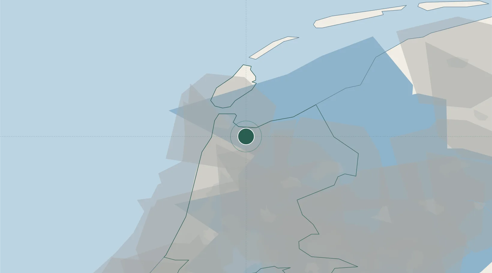
Anna Paulowna
52.8667°, 4.8667°
8,795
Population
2
Transport functions
Transport Functions
Port
Road
Hub Profile
Place type
Populated place
Region
North Holland
Population
8,795
Time zone
Europe/Amsterdam
Elevation
-3 m
Location
Nearby Logistics Neighbours
Cities
- 1De Haukes5 km
- 2De Kooy7 km
- 3Kreil7 km
- 4Kolhorn8 km
- 5Barsingerhorn9 km
Ports
- 1Den Helder12 km
- 2Zaandam48 km
- 3Ijmuiden48 km
- 4Harlingen51 km
- 5Amsterdam56 km
Airports
Trade Zones
- 1Freeport of Emden164 km
- 2Freeport of Duisburg197 km
- 3Rheinische Revier SWZ241 km
- 4Freeport of Bremerhaven (Freihafen Bremerhaven)263 km
- 5ZFU Tourcoing266 km
DatabookThe Record of Consolidated Knowledge
Netherlands beyond logistics?