UN/LOCODE hub · Netherlands
NLTHE

't Horntje

53.0000°, 4.7833°
2
Transport functions

Transport Functions

Port
Road
UN/LOCODE

Hub Profile

Place type
Populated place
GeoNames
Region
North Holland
GeoNames
Time zone
Europe/Amsterdam
GeoNames
Elevation
2 m
GeoNames

Location

Location of NLTHE
Natural Earth 10m (public domain) · North Holland · NLTHE · 53.00, 4.78GoogleOSMYandex

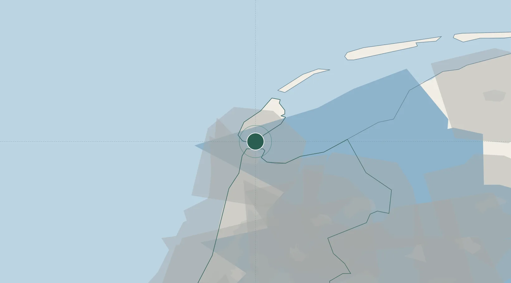
Nearby Logistics Neighbours

Cities
  1. 1Den Helder6 km
  2. 2Oudeschild7 km
  3. 3De Kooy9 km
  4. 4Molengat11 km
  5. 5Stroe15 km
Nearest neighbours — logibook spatial index (haversine) over the source coordinates
Ports
  1. 1Den Helder4 km
  2. 2Harlingen47 km
  3. 3Ijmuiden61 km
  4. 4Zaandam63 km
  5. 5Amsterdam71 km
Nearest neighbours — logibook spatial index (haversine) over the source coordinates
Airports
  1. 1De Kooy Airfield / Den Helder Naval Air Station9 km
  2. 2Leeuwarden Air Base70 km
  3. 3Amsterdam Airport Schiphol77 km
  4. 4Lelystad Airport78 km
  5. 5Rotterdam The Hague Airport118 km
Nearest neighbours — logibook spatial index (haversine) over the source coordinates
Trade Zones
  1. 1Freeport of Emden165 km
  2. 2Freeport of Duisburg212 km
  3. 3Rheinische Revier SWZ257 km
  4. 4Freeport of Bremerhaven (Freihafen Bremerhaven)267 km
  5. 5Freeport of Cuxhaven (Freihafen Cuxhaven)267 km
Nearest neighbours — logibook spatial index (haversine) over the source coordinates
DatabookThe Record of Consolidated Knowledge
Netherlands beyond logistics?
Browse databook

All Sources

LocationsUN/LOCODE
UN/LOCODE — free
Portsthe NGA World Port Index
Public domain (US gov)
AirportsOurAirports
Public domain
Trade Zonesthe World Bank SEZ database
CC BY 4.0
Trade ZonesOpen Zone Map
CC BY
← Netherlands locations