UN/LOCODE hub · Namibia
NAWVB
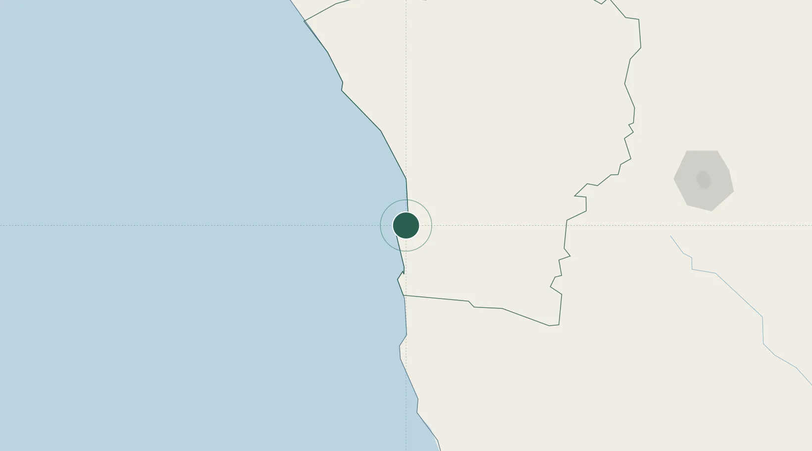
Walvis Bay
-22.9493°, 14.5084°
73,598
Population
1
Transport functions
2
Container terminals
Transport Functions
Port
Hub Profile
Place type
Populated place
Region
Erongo Region
Population
73,598
Time zone
Africa/Windhoek
Elevation
6 m
Logistics facilities
14
Container terminals
2
Location
Nearby Logistics Neighbours
Ports
- 1Luderitz Bay417 km
- 2Namibe897 km
- 3Saldanha Bay1171 km
- 4Lobito1185 km
- 5Cape Town1278 km
Airports
- 1Walvis Bay International Airport15 km
- 2Arandis Airport73 km
- 3Eros Airport266 km
- 4Hosea Kutako International Airport308 km
- 5Mariental Airport393 km
Trade Zones
DatabookThe Record of Consolidated Knowledge
Namibia beyond logistics?