Transport Functions
Multimodal
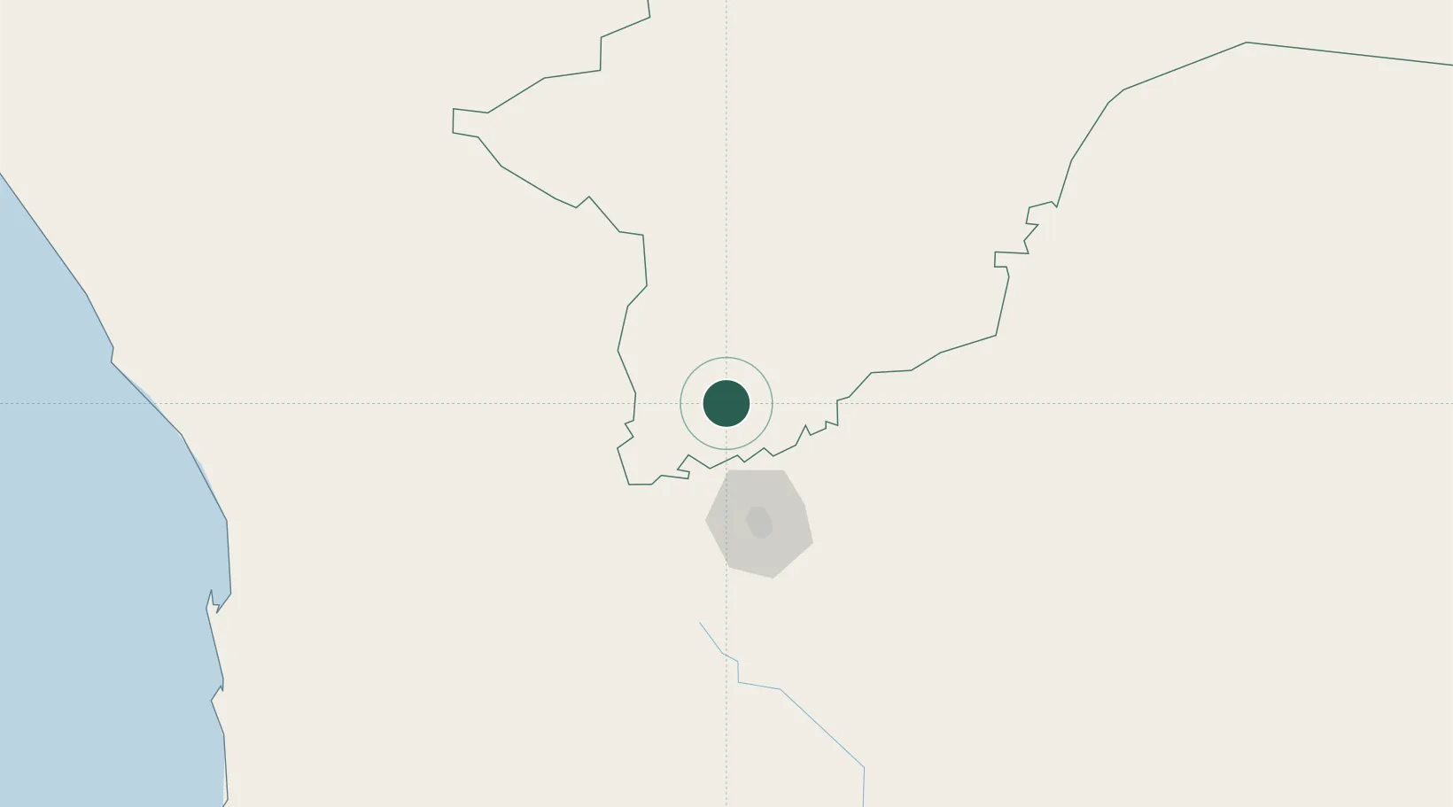
Hub Profile
Place type
Populated place
Region
Otjozondjupa Region
Population
26,832
Time zone
Africa/Windhoek
Elevation
1,370 m
Location
Nearby Logistics Neighbours
Cities
- 1Walvis Bay270 km
- 2Maltahohe317 km
- 3Oshikango521 km
- 4Lüderitz548 km
- 5Ruacana573 km
Ports
- 1Walvis Bay271 km
- 2Luderitz Bay549 km
- 3Namibe906 km
- 4Lobito1130 km
- 5Saldanha Bay1233 km
Airports
- 1Eros Airport71 km
- 2Hosea Kutako International Airport79 km
- 3Arandis Airport206 km
- 4Walvis Bay International Airport258 km
- 5Grootfontein Airport293 km
Trade Zones
DatabookThe Record of Consolidated Knowledge
Namibia beyond logistics?