UN/LOCODE hub · Namibia
NALUD
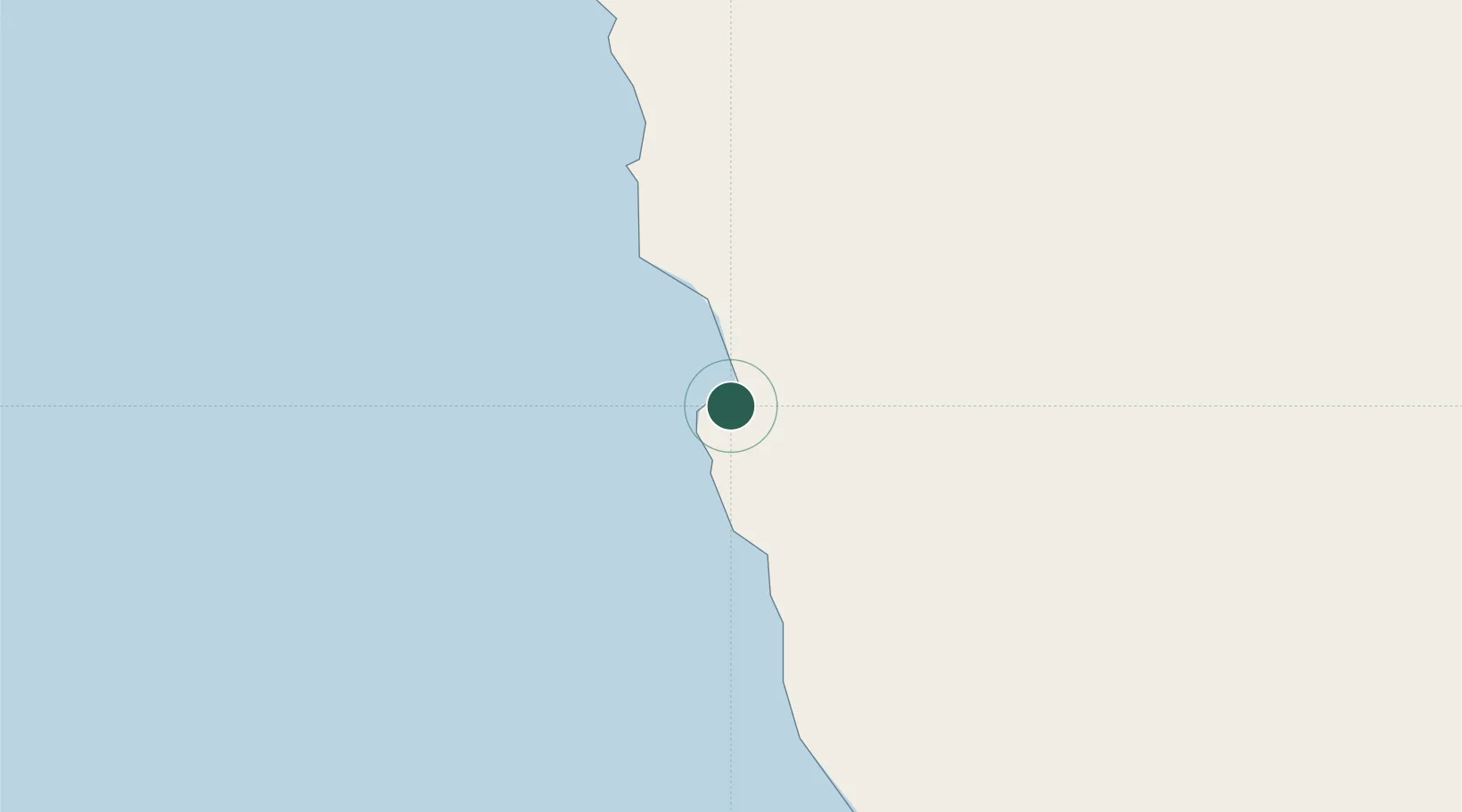
Lüderitz
-26.6406°, 15.1539°
15,137
Population
2
Transport functions
1
Container terminals
Transport Functions
Port
Airport
Hub Profile
Place type
Populated place
Region
Karas Region
Population
15,137
Time zone
Africa/Windhoek
Elevation
16 m
Logistics facilities
1
Container terminals
1
Location
Nearby Logistics Neighbours
Cities
- 1Maltahohe272 km
- 2Aussenkehr291 km
- 3Walvis Bay416 km
- 4Okahandja548 km
- 5Komkans582 km
Ports
- 1Walvis Bay416 km
- 2Saldanha Bay761 km
- 3Cape Town868 km
- 4Simonstown896 km
- 5Mossel Bay1072 km
Airports
- 1Luderitz Airport10 km
- 2Oranjemund Airport251 km
- 3Alexander Bay Airport254 km
- 4Keetmanshoop Airport294 km
- 5Mariental Airport358 km
Trade Zones
DatabookThe Record of Consolidated Knowledge
Namibia beyond logistics?