Medium airport · Namibia

Mariental AirportFYML
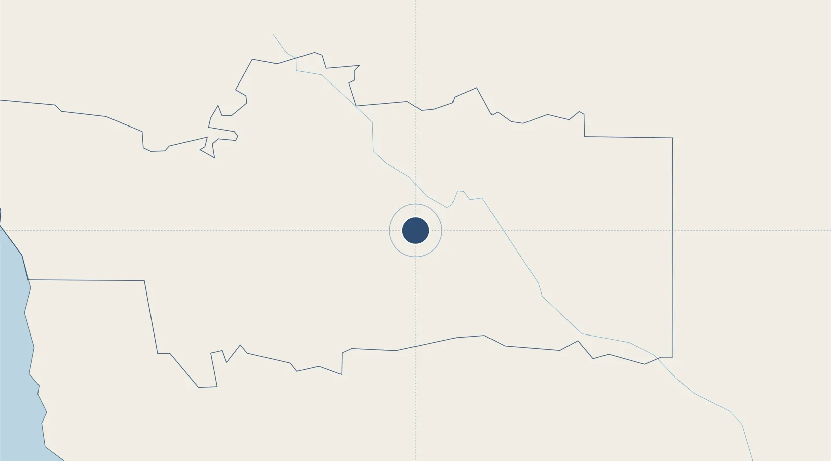
-24.6054°, 17.9254°
6,562 ft
Longest runway
2
Runways
3,650 ft
Elevation

Runway & Layout

Mariental Airport runway & taxiway layout
Runway & taxiway layout — OpenStreetMap (ODbL) / OurAirports

Radio Frequencies

CTAF
124.8 MHz
OurAirports

Runways · 2

RunwayDimensions SurfaceTrue headingLit
01/19 6,562 × 82ft Asphalt 350°
12/30 4,921 × 98ft Gravel 098°
OurAirports

Airport Specifications

ICAO code
FYML
OurAirports
Airport class
Medium airport
OurAirports
Scheduled service
No
OurAirports
Runway surface
Asphalt
OurAirports
Served city
Mariental
OurAirports

Location

Location of FYML
Natural Earth 10m (public domain) · Hardap · FYML · -24.61, 17.93GoogleOSMYandex

Nearby Logistics Neighbours

Airports
  1. 1Keetmanshoop Airport216 km
  2. 2Eros Airport239 km
  3. 3Hosea Kutako International Airport241 km
  4. 4Luderitz Airport355 km
  5. 5Walvis Bay International Airport379 km
Nearest neighbours — logibook spatial index (haversine) over the source coordinates
Cities
  1. 1Maltahohe99 km
  2. 2Okahandja309 km
  3. 3Lüderitz358 km
  4. 4Walvis Bay393 km
  5. 5Aussenkehr420 km
Nearest neighbours — logibook spatial index (haversine) over the source coordinates
Ports
  1. 1Luderitz Bay359 km
  2. 2Walvis Bay394 km
  3. 3Saldanha Bay937 km
  4. 4Cape Town1037 km
  5. 5Simonstown1066 km
Nearest neighbours — logibook spatial index (haversine) over the source coordinates
Trade Zones
  1. 1Walvis Bay (Nara Namib) Export Processing Zone394 km
  2. 2Namakwa (Nama-Khoi) Special Economic Zone523 km
  3. 3Upington Special Economic Zone538 km
  4. 4Lobatse Special Economic Zone785 km
  5. 5Sir Seretse Khama Intl Airport Zone807 km
Nearest neighbours — logibook spatial index (haversine) over the source coordinates
DatabookThe Record of Consolidated Knowledge
Namibia beyond logistics?
Browse databook

All Sources

AirportsOurAirports
Public domain
Portsthe NGA World Port Index
Public domain (US gov)
LocationsUN/LOCODE
UN/LOCODE — free
Trade Zonesthe World Bank SEZ database
CC BY 4.0
Trade ZonesOpen Zone Map
CC BY
InfrastructureOpenStreetMap
ODbL 1.0
← Namibia airports