UN/LOCODE hub · Namibia
NAMTH

Maltahohe

-24.8333°, 16.9833°
1
Transport functions

Transport Functions

Multimodal
UN/LOCODE

Hub Profile

Region
HA
GeoNames

Location

Location of NAMTH
Natural Earth 10m (public domain) · HA · NAMTH · -24.83, 16.98GoogleOSMYandex

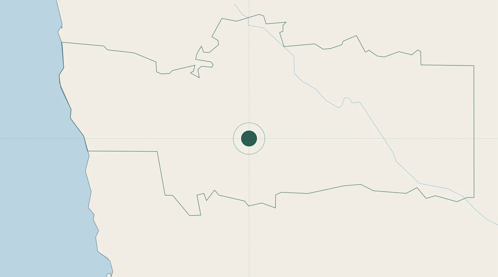
Nearby Logistics Neighbours

Cities
  1. 1Lüderitz272 km
  2. 2Okahandja317 km
  3. 3Walvis Bay327 km
  4. 4Aussenkehr393 km
  5. 5Maseru619 km
Nearest neighbours — logibook spatial index (haversine) over the source coordinates
Ports
  1. 1Luderitz Bay273 km
  2. 2Walvis Bay328 km
  3. 3Saldanha Bay917 km
  4. 4Cape Town1020 km
  5. 5Simonstown1049 km
Nearest neighbours — logibook spatial index (haversine) over the source coordinates
Airports
  1. 1Mariental Airport99 km
  2. 2Keetmanshoop Airport221 km
  3. 3Eros Airport248 km
  4. 4Hosea Kutako International Airport266 km
  5. 5Luderitz Airport270 km
Nearest neighbours — logibook spatial index (haversine) over the source coordinates
Trade Zones
  1. 1Walvis Bay (Nara Namib) Export Processing Zone328 km
  2. 2Namakwa (Nama-Khoi) Special Economic Zone526 km
  3. 3Upington Special Economic Zone582 km
  4. 4Lobatse Special Economic Zone877 km
  5. 5Mafikeng (Mahikeng) Industrial development Zone897 km
Nearest neighbours — logibook spatial index (haversine) over the source coordinates
DatabookThe Record of Consolidated Knowledge
Namibia beyond logistics?
Browse databook

All Sources

LocationsUN/LOCODE
UN/LOCODE — free
Portsthe NGA World Port Index
Public domain (US gov)
AirportsOurAirports
Public domain
Trade Zonesthe World Bank SEZ database
CC BY 4.0
Trade ZonesOpen Zone Map
CC BY
← Namibia locations