Transport Functions
Multimodal
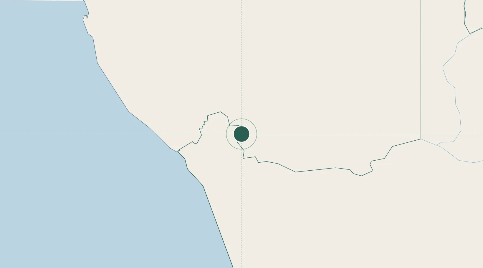
Hub Profile
Place type
Populated place
Region
Karas Region
Population
5,359
Time zone
Africa/Windhoek
Elevation
147 m
Location
Nearby Logistics Neighbours
Ports
- 1Luderitz Bay290 km
- 2Saldanha Bay524 km
- 3Cape Town627 km
- 4Simonstown657 km
- 5Walvis Bay666 km
Airports
- 1Alexander Bay Airport87 km
- 2Oranjemund Airport95 km
- 3Kleinsee Airport152 km
- 4Springbok Airport158 km
- 5Aggeneys Airport174 km
Trade Zones
DatabookThe Record of Consolidated Knowledge
Namibia beyond logistics?