Medium airport · South Africa

Alexander Bay AirportFAAB
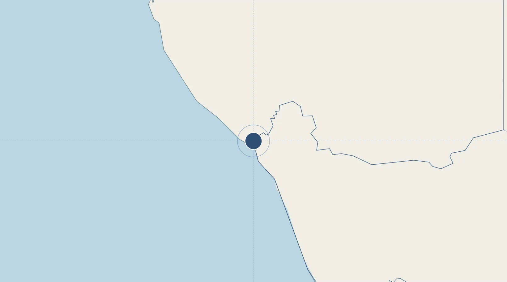
-28.5750°, 16.5333°
6,063 ft
Longest runway
3
Runways
98 ft
Elevation

Runway & Layout

Alexander Bay Airport runway & taxiway layout
Runway & taxiway layout — OpenStreetMap (ODbL) / OurAirports

Radio Frequencies

AFIS
118.7 MHz
OurAirports

Navaids

AB NDB Alexander Bay 318 kHz
ABV VOR-DME Alexander Bay 112.10 MHz
OurAirports

Runways · 3

RunwayDimensions SurfaceTrue headingLit
01/19 6,063 × 151ft Asphalt 347°
07/25 5,499 × 118ft Gravel 044°
11/29 4,823 × 115ft Gravel 088°
OurAirports

Airport Specifications

IATA code
ALJ
OurAirports
ICAO code
FAAB
OurAirports
Airport class
Medium airport
OurAirports
Scheduled service
No
OurAirports
Runway surface
Asphalt
OurAirports
Served city
Alexander Bay
OurAirports

Location

Location of FAAB
Natural Earth 10m (public domain) · Northern Cape · FAAB · -28.58, 16.53GoogleOSMYandex

Nearby Logistics Neighbours

Airports
  1. 1Oranjemund Airport9 km
  2. 2Kleinsee Airport135 km
  3. 3Springbok Airport184 km
  4. 4Aggeneys Airport235 km
  5. 5Luderitz Airport245 km
Nearest neighbours — logibook spatial index (haversine) over the source coordinates
Cities
  1. 1Aussenkehr87 km
  2. 2Lüderitz254 km
  3. 3Komkans328 km
  4. 4Stompneus337 km
  5. 5Klawer407 km
Nearest neighbours — logibook spatial index (haversine) over the source coordinates
Ports
  1. 1Luderitz Bay254 km
  2. 2Saldanha Bay514 km
  3. 3Cape Town620 km
  4. 4Simonstown649 km
  5. 5Walvis Bay658 km
Nearest neighbours — logibook spatial index (haversine) over the source coordinates
Trade Zones
  1. 1Namakwa (Nama-Khoi) Special Economic Zone247 km
  2. 2Upington Special Economic Zone460 km
  3. 3Saldanha Bay Special Economic Zone514 km
  4. 4Atlantis Special Economic Zone587 km
  5. 5Walvis Bay (Nara Namib) Export Processing Zone657 km
Nearest neighbours — logibook spatial index (haversine) over the source coordinates
DatabookThe Record of Consolidated Knowledge
South Africa beyond logistics?
Browse databook

All Sources

AirportsOurAirports
Public domain
Portsthe NGA World Port Index
Public domain (US gov)
LocationsUN/LOCODE
UN/LOCODE — free
Trade Zonesthe World Bank SEZ database
CC BY 4.0
Trade ZonesOpen Zone Map
CC BY
InfrastructureOpenStreetMap
ODbL 1.0
← South Africa airports