Transport Functions
Port
Hub Profile
Region
WC
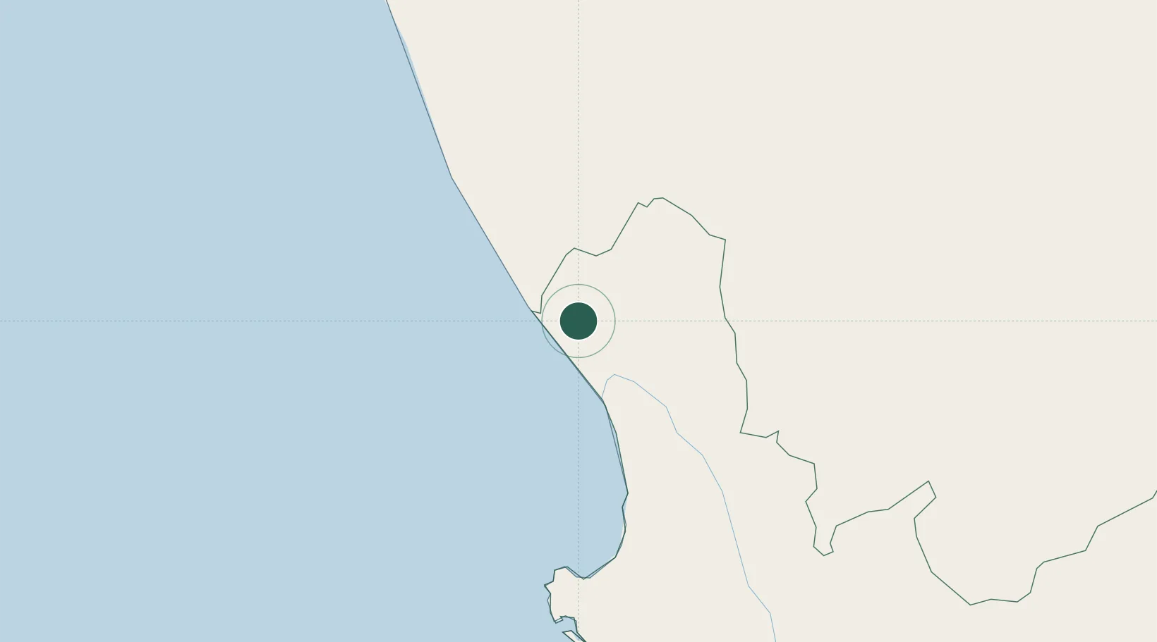
Location
Nearby Logistics Neighbours
Cities
- 1Stompneus23 km
- 2Klawer80 km
- 3Elands Bay123 km
- 4Clanwilliam132 km
- 5Laaiplek173 km
Ports
- 1Saldanha Bay202 km
- 2Cape Town302 km
- 3Simonstown332 km
- 4Mossel Bay505 km
- 5Luderitz Bay581 km
Airports
- 1Vredendal Airport67 km
- 2Springbok Airport170 km
- 3Kleinsee Airport193 km
- 4Saldanha/Vredenburg Airport195 km
- 5Langebaanweg Airport195 km
Trade Zones
DatabookThe Record of Consolidated Knowledge
South Africa beyond logistics?