Medium airport · Namibia

Keetmanshoop AirportFYKT
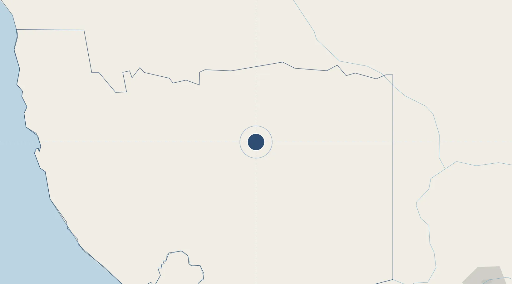
-26.5398°, 18.1114°
7,598 ft
Longest runway
2
Runways
3,506 ft
Elevation

Runway & Layout

Keetmanshoop Airport runway & taxiway layout
Runway & taxiway layout — OpenStreetMap (ODbL) / OurAirports

Radio Frequencies

TWR
118.3 MHz
OurAirports

Navaids

KT NDB Keetmanshoop 395 kHz
KTV VOR-DME Keetmanshoop 112.90 MHz
OurAirports

Runways · 2

RunwayDimensions SurfaceTrue headingLit
04/22 7,598 × 148ft Asphalt 016°
18/36 4,705 × 98ft Gravel 155°
OurAirports

Airport Specifications

IATA code
KMP
OurAirports
ICAO code
FYKT
OurAirports
Airport class
Medium airport
OurAirports
Scheduled service
No
OurAirports
Runway surface
Asphalt
OurAirports
Served city
Keetmanshoop
OurAirports

Location

Location of FYKT
Natural Earth 10m (public domain) · Karas · FYKT · -26.54, 18.11GoogleOSMYandex

Nearby Logistics Neighbours

Airports
  1. 1Mariental Airport216 km
  2. 2Alexander Bay Airport275 km
  3. 3Oranjemund Airport280 km
  4. 4Luderitz Airport286 km
  5. 5Aggeneys Airport313 km
Nearest neighbours — logibook spatial index (haversine) over the source coordinates
Cities
  1. 1Aussenkehr214 km
  2. 2Maltahohe221 km
  3. 3Lüderitz294 km
  4. 4Lerato474 km
  5. 5Maseru477 km
Nearest neighbours — logibook spatial index (haversine) over the source coordinates
Ports
  1. 1Luderitz Bay295 km
  2. 2Walvis Bay541 km
  3. 3Saldanha Bay722 km
  4. 4Cape Town821 km
  5. 5Simonstown851 km
Nearest neighbours — logibook spatial index (haversine) over the source coordinates
Trade Zones
  1. 1Namakwa (Nama-Khoi) Special Economic Zone310 km
  2. 2Upington Special Economic Zone373 km
  3. 3Walvis Bay (Nara Namib) Export Processing Zone541 km
  4. 4Saldanha Bay Special Economic Zone719 km
  5. 5Lobatse Special Economic Zone772 km
Nearest neighbours — logibook spatial index (haversine) over the source coordinates
DatabookThe Record of Consolidated Knowledge
Namibia beyond logistics?
Browse databook

All Sources

AirportsOurAirports
Public domain
Portsthe NGA World Port Index
Public domain (US gov)
LocationsUN/LOCODE
UN/LOCODE — free
Trade Zonesthe World Bank SEZ database
CC BY 4.0
Trade ZonesOpen Zone Map
CC BY
InfrastructureOpenStreetMap
ODbL 1.0
← Namibia airports