Medium airport · Namibia

Luderitz AirportFYLZ
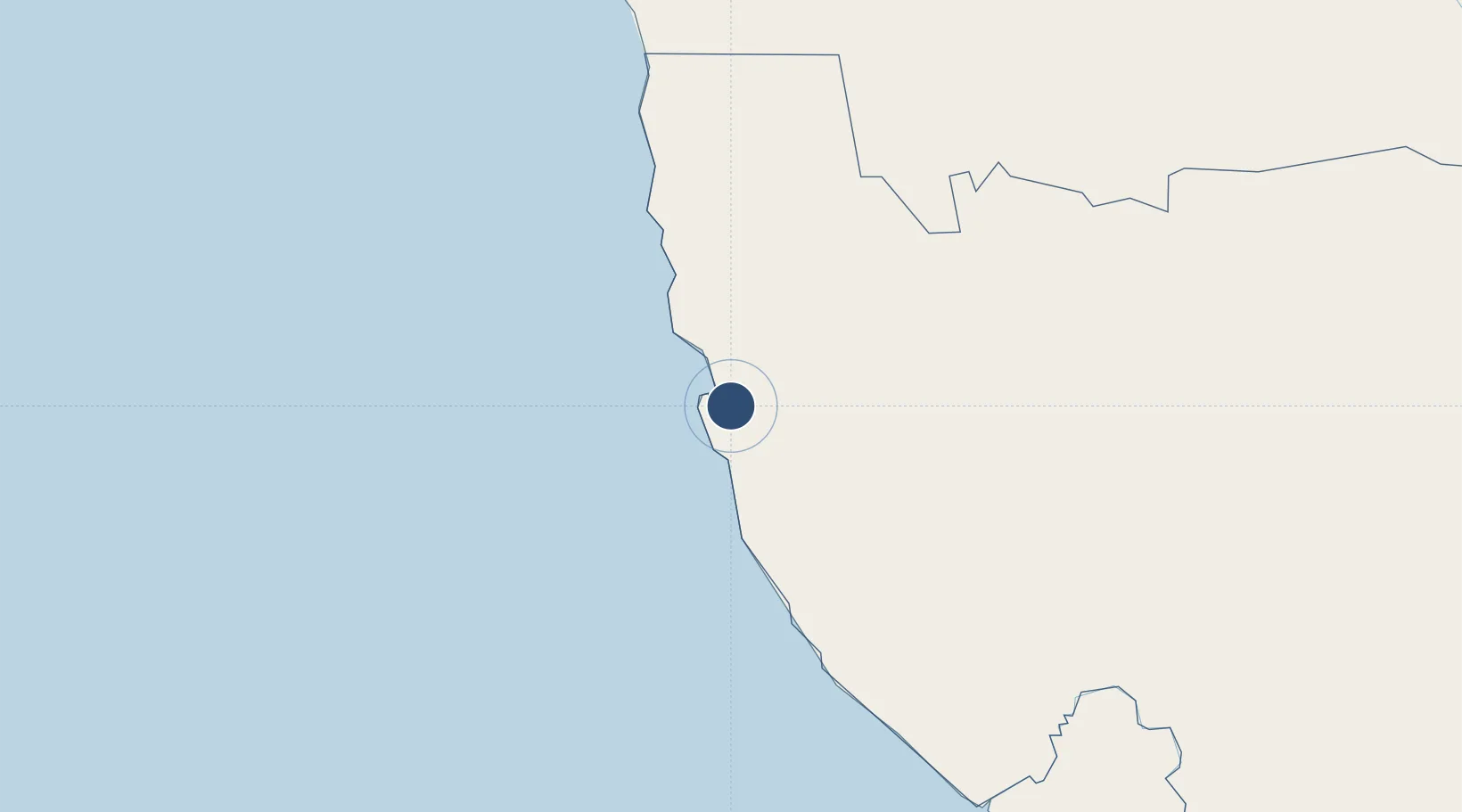
-26.6874°, 15.2429°
6,004 ft
Longest runway
2
Runways
457 ft
Elevation

Runway & Layout

Luderitz Airport runway & taxiway layout
Runway & taxiway layout — OpenStreetMap (ODbL) / OurAirports

Radio Frequencies

CTAF
124.8 MHz
OurAirports

Runways · 2

RunwayDimensions SurfaceTrue headingLit
04/22 6,004 × 98ft Asphalt 017°
12/30 3,830 × 98ft Gravel 099°
OurAirports

Airport Specifications

IATA code
LUD
OurAirports
ICAO code
FYLZ
OurAirports
Airport class
Medium airport
OurAirports
Scheduled service
Yes
OurAirports
Runway surface
Asphalt
OurAirports
Served city
Luderitz
OurAirports

Location

Location of FYLZ
Natural Earth 10m (public domain) · Karas · FYLZ · -26.69, 15.24GoogleOSMYandex

Nearby Logistics Neighbours

Airports
  1. 1Oranjemund Airport242 km
  2. 2Alexander Bay Airport245 km
  3. 3Keetmanshoop Airport286 km
  4. 4Mariental Airport355 km
  5. 5Kleinsee Airport380 km
Nearest neighbours — logibook spatial index (haversine) over the source coordinates
Cities
  1. 1Lüderitz10 km
  2. 2Maltahohe270 km
  3. 3Aussenkehr281 km
  4. 4Walvis Bay422 km
  5. 5Okahandja550 km
Nearest neighbours — logibook spatial index (haversine) over the source coordinates
Ports
  1. 1Luderitz Bay10 km
  2. 2Walvis Bay422 km
  3. 3Saldanha Bay753 km
  4. 4Cape Town860 km
  5. 5Simonstown888 km
Nearest neighbours — logibook spatial index (haversine) over the source coordinates
Trade Zones
  1. 1Walvis Bay (Nara Namib) Export Processing Zone422 km
  2. 2Namakwa (Nama-Khoi) Special Economic Zone461 km
  3. 3Upington Special Economic Zone622 km
  4. 4Saldanha Bay Special Economic Zone753 km
  5. 5Atlantis Special Economic Zone828 km
Nearest neighbours — logibook spatial index (haversine) over the source coordinates
DatabookThe Record of Consolidated Knowledge
Namibia beyond logistics?
Browse databook

All Sources

AirportsOurAirports
Public domain
Portsthe NGA World Port Index
Public domain (US gov)
LocationsUN/LOCODE
UN/LOCODE — free
Trade Zonesthe World Bank SEZ database
CC BY 4.0
Trade ZonesOpen Zone Map
CC BY
InfrastructureOpenStreetMap
ODbL 1.0
← Namibia airports