Medium airport · Namibia

Oranjemund AirportFYOG
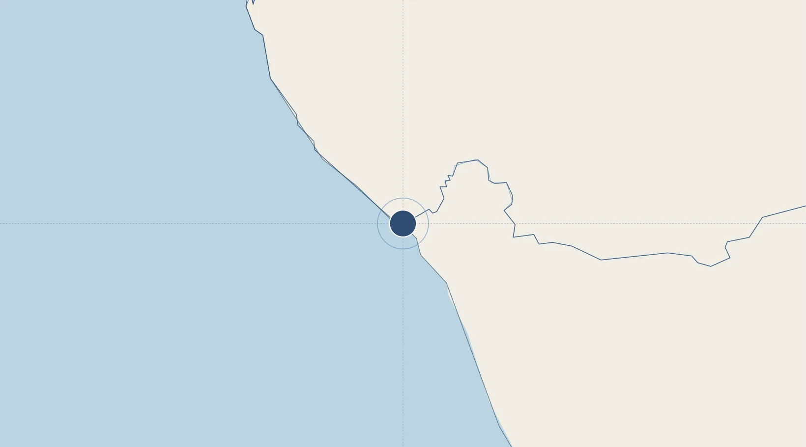
-28.5847°, 16.4467°
5,252 ft
Longest runway
1
Runways
14 ft
Elevation

Runway & Layout

Oranjemund Airport runway & taxiway layout
Runway & taxiway layout — OpenStreetMap (ODbL) / OurAirports

Radio Frequencies

TWR
118.7 MHz
ALEXANDER BAY TWR
AFIS
118.7 MHz
ALEXANDER BAY RDO
OurAirports

Runways · 1

RunwayDimensions SurfaceTrue headingLit
02/20 5,252 × 59ft Asphalt 360°
OurAirports

Airport Specifications

IATA code
OMD
OurAirports
ICAO code
FYOG
OurAirports
Airport class
Medium airport
OurAirports
Scheduled service
Yes
OurAirports
Runway surface
Asphalt
OurAirports
Served city
Oranjemund
OurAirports

Location

Location of FYOG
Natural Earth 10m (public domain) · Karas · FYOG · -28.58, 16.45GoogleOSMYandex

Nearby Logistics Neighbours

Airports
  1. 1Alexander Bay Airport9 km
  2. 2Kleinsee Airport138 km
  3. 3Springbok Airport190 km
  4. 4Luderitz Airport242 km
  5. 5Aggeneys Airport243 km
Nearest neighbours — logibook spatial index (haversine) over the source coordinates
Cities
  1. 1Aussenkehr95 km
  2. 2Lüderitz251 km
  3. 3Komkans331 km
  4. 4Stompneus339 km
  5. 5Klawer410 km
Nearest neighbours — logibook spatial index (haversine) over the source coordinates
Ports
  1. 1Luderitz Bay250 km
  2. 2Saldanha Bay516 km
  3. 3Cape Town622 km
  4. 4Simonstown651 km
  5. 5Walvis Bay656 km
Nearest neighbours — logibook spatial index (haversine) over the source coordinates
Trade Zones
  1. 1Namakwa (Nama-Khoi) Special Economic Zone255 km
  2. 2Upington Special Economic Zone468 km
  3. 3Saldanha Bay Special Economic Zone515 km
  4. 4Atlantis Special Economic Zone589 km
  5. 5Walvis Bay (Nara Namib) Export Processing Zone656 km
Nearest neighbours — logibook spatial index (haversine) over the source coordinates
DatabookThe Record of Consolidated Knowledge
Namibia beyond logistics?
Browse databook

All Sources

AirportsOurAirports
Public domain
Portsthe NGA World Port Index
Public domain (US gov)
LocationsUN/LOCODE
UN/LOCODE — free
Trade Zonesthe World Bank SEZ database
CC BY 4.0
Trade ZonesOpen Zone Map
CC BY
InfrastructureOpenStreetMap
ODbL 1.0
← Namibia airports