Seaport · Malaysia
TawaMYTWU
4.2500°, 117.8833°
17.1 m
Channel depth
1
Container terminals
16.6
Port liner connectivity
Channel & Berth Profile
Pilotage, Tugs & Services
Pilotage compulsoryNO
Pilotage availableYES
Potable waterYES
Diesel bunkersYES
MedicalYES
Facilities & Capabilities
Container—
Ro-Ro—
Liquid bulk—
Dry bulk—
Oil terminal—
Break bulk—
Dry dock—
Repairs—
BunkeringYES
Rail link—
Dangerous cargo—
ISPS security—
Harbour Specifications
Harbour size
Very Small
Harbour type
Coastal (Natural)
Shelter
Fair
Water body
Celebes Sea; North Pacific Ocean
Tidal range
3 m
Pilotage
No
Liner Connectivity
16.6
PLSCI
Port Liner Shipping Connectivity Index for Tawa, as published by UNCTAD for the latest available quarter. Higher values indicate stronger scheduled liner-shipping integration.
Shown relative to the highest per-port PLSCI in the dataset (1,657.9).
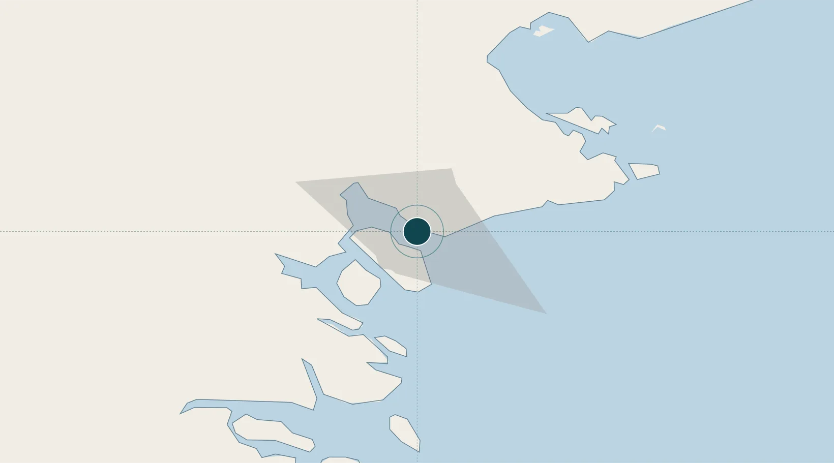
Location
Container Terminals · 1
TAWAU CONTAINER TERMINAL
TWUCT SABAH PORTS SDN. BHD.
Nearby Logistics Neighbours
Ports
- 1Mostyn63 km
- 2Tanjung Arang (Bunyu)87 km
- 3Lahad Datu98 km
- 4Bakapit110 km
- 5Pelabuhan Sandakan178 km
Cities
- 1Bunyu84 km
- 2Labuan Haji87 km
- 3Lahad Datu, Sabah101 km
- 4Tarakan, Kalimantan112 km
- 5Bantul119 km
Airports
- 1Tawau Airport27 km
- 2Lahad Datu Airport100 km
- 3Juwata International Airport / Suharnoko Harbani AFB109 km
- 4Tomanggong Airport154 km
- 5Robert Atty Bessing159 km
Trade Zones
- 1Sabah Development Corridor274 km
- 2Labuan Offshore Financial Centre314 km
- 3Muara Export Zone324 km
- 4Terunjing Free Trade Zone324 km
- 5Muara Wahau Industrial Park349 km
DatabookThe Record of Consolidated Knowledge
Malaysia beyond logistics?