Transport Functions
Port
Hub Profile
Place type
Populated place
Region
North Kalimantan
Time zone
Asia/Makassar
Elevation
8 m
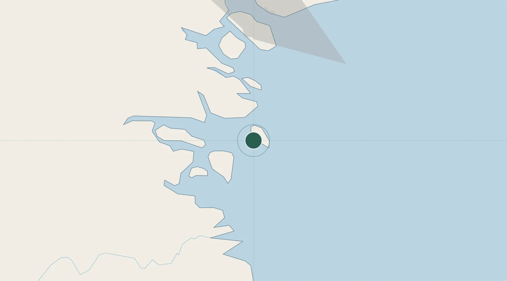
Location
Nearby Logistics Neighbours
Cities
- 1Tarakan, Kalimantan33 km
- 2Tawau, Sabah84 km
- 3Bantul131 km
- 4Labuan Haji143 km
- 5Mangkajang152 km
Ports
- 1Tawa84 km
- 2Mostyn141 km
- 3Lahad Datu178 km
- 4Bakapit183 km
- 5Pelabuhan Sandakan262 km
Airports
- 1Juwata International Airport / Suharnoko Harbani AFB33 km
- 2Tanjung Harapan Airport88 km
- 3Tawau Airport97 km
- 4Robert Atty Bessing131 km
- 5Kalimarau Airport156 km
Trade Zones
DatabookThe Record of Consolidated Knowledge
Indonesia beyond logistics?