UN/LOCODE hub · Malaysia
MYTWU
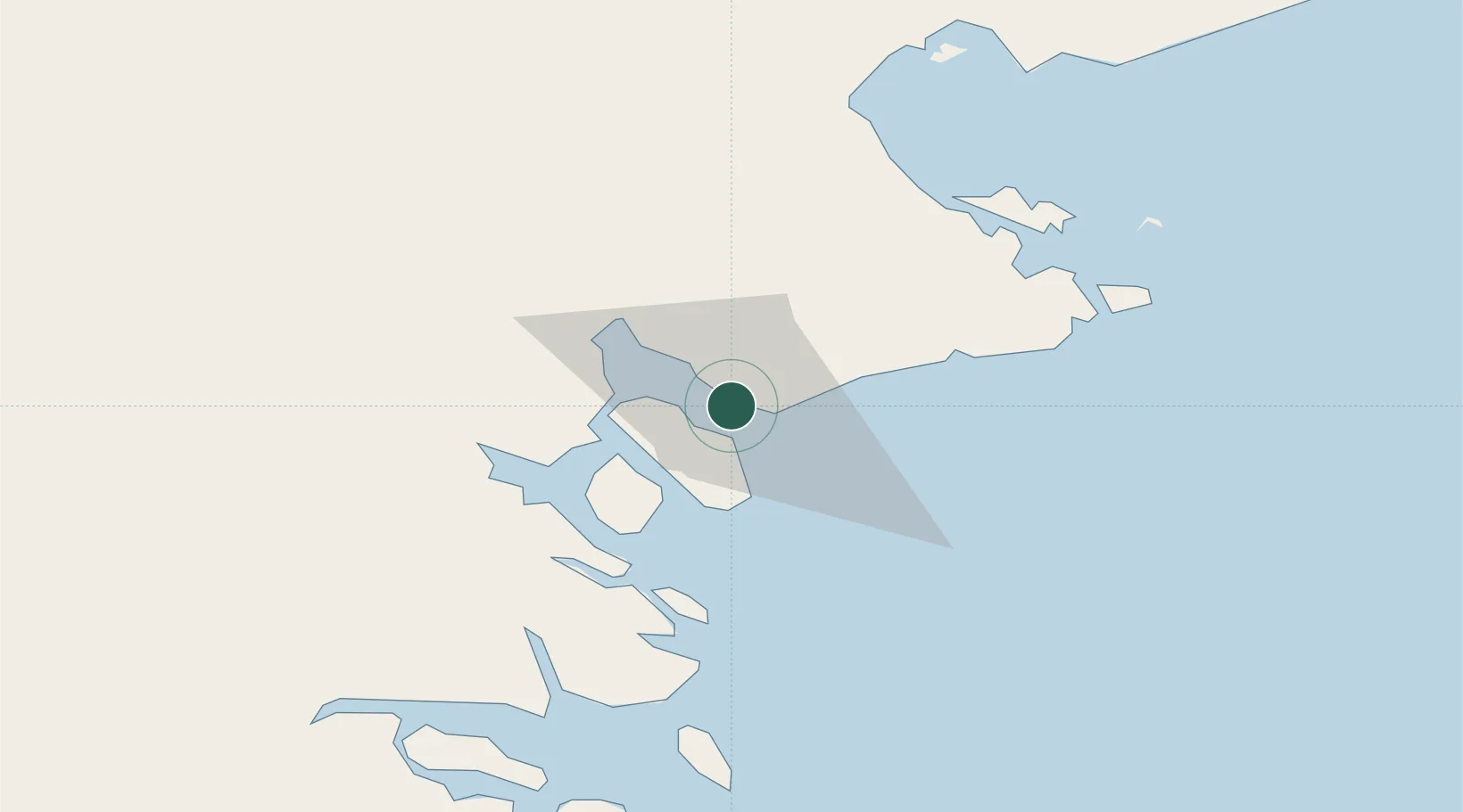
Tawau, Sabah
4.2467°, 117.8939°
2
Transport functions
1
Container terminals
Transport Functions
Port
Airport
Hub Profile
Logistics facilities
4
Container terminals
1
Location
Nearby Logistics Neighbours
Cities
- 1Bunyu84 km
- 2Labuan Haji86 km
- 3Lahad Datu, Sabah101 km
- 4Tarakan, Kalimantan112 km
- 5Bantul120 km
Ports
- 1Mostyn63 km
- 2Tanjung Arang (Bunyu)87 km
- 3Lahad Datu98 km
- 4Bakapit109 km
- 5Pelabuhan Sandakan178 km
Airports
- 1Tawau Airport26 km
- 2Lahad Datu Airport100 km
- 3Juwata International Airport / Suharnoko Harbani AFB109 km
- 4Tomanggong Airport154 km
- 5Robert Atty Bessing160 km
Trade Zones
- 1Sabah Development Corridor276 km
- 2Labuan Offshore Financial Centre315 km
- 3Muara Export Zone325 km
- 4Terunjing Free Trade Zone325 km
- 5Muara Wahau Industrial Park349 km
DatabookThe Record of Consolidated Knowledge
Malaysia beyond logistics?