Small airport · Malaysia

Tomanggong AirportWBKM
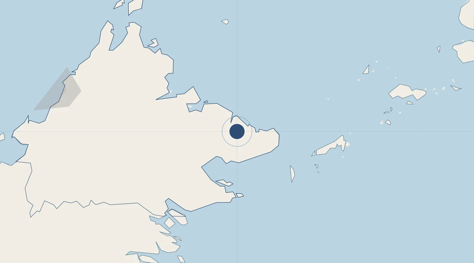
5.4026°, 118.6576°
2,198 ft
Longest runway
1
Runways
26 ft
Elevation

Runway & Layout

Tomanggong Airport runway & taxiway layout
Runway & taxiway layout — OpenStreetMap (ODbL) / OurAirports

Runways · 1

RunwayDimensions SurfaceTrue headingLit
11/29 2,198 × —ft Gravel
OurAirports

Airport Specifications

IATA code
TMG
OurAirports
ICAO code
WBKM
OurAirports
Airport class
Small airport
OurAirports
Scheduled service
Yes
OurAirports
Runway surface
Gravel
OurAirports
Served city
Tomanggong
OurAirports

Location

Location of WBKM
Natural Earth 10m (public domain) · Sabah · WBKM · 5.40, 118.66GoogleOSMYandex

Nearby Logistics Neighbours

Airports
  1. 1Lahad Datu Airport55 km
  2. 2Sandakan Airport86 km
  3. 3Sanga Sanga Airport127 km
  4. 4Tawau Airport135 km
  5. 5Juwata International Airport / Suharnoko Harbani AFB261 km
Nearest neighbours — logibook spatial index (haversine) over the source coordinates
Cities
  1. 1Lahad Datu, Sabah53 km
  2. 2Sabahat56 km
  3. 3Sandakan, Sabah79 km
  4. 4Labuan Haji102 km
  5. 5Beluran, Sabah134 km
Nearest neighbours — logibook spatial index (haversine) over the source coordinates
Ports
  1. 1Bakapit51 km
  2. 2Lahad Datu57 km
  3. 3Pelabuhan Sandakan77 km
  4. 4Mostyn92 km
  5. 5Tawa154 km
Nearest neighbours — logibook spatial index (haversine) over the source coordinates
Trade Zones
  1. 1Sabah Development Corridor292 km
  2. 2Rio Tuba Export Processing Zone374 km
  3. 3Labuan Offshore Financial Centre378 km
  4. 4Brookes Point Agro-Industrial Economic Zone388 km
  5. 5Muara Export Zone399 km
Nearest neighbours — logibook spatial index (haversine) over the source coordinates
DatabookThe Record of Consolidated Knowledge
Malaysia beyond logistics?
Browse databook

All Sources

AirportsOurAirports
Public domain
Portsthe NGA World Port Index
Public domain (US gov)
LocationsUN/LOCODE
UN/LOCODE — free
Trade Zonesthe World Bank SEZ database
CC BY 4.0
Trade ZonesOpen Zone Map
CC BY
InfrastructureOpenStreetMap
ODbL 1.0
← Malaysia airports