Medium airport · Malaysia
Lahad Datu AirportWBKD
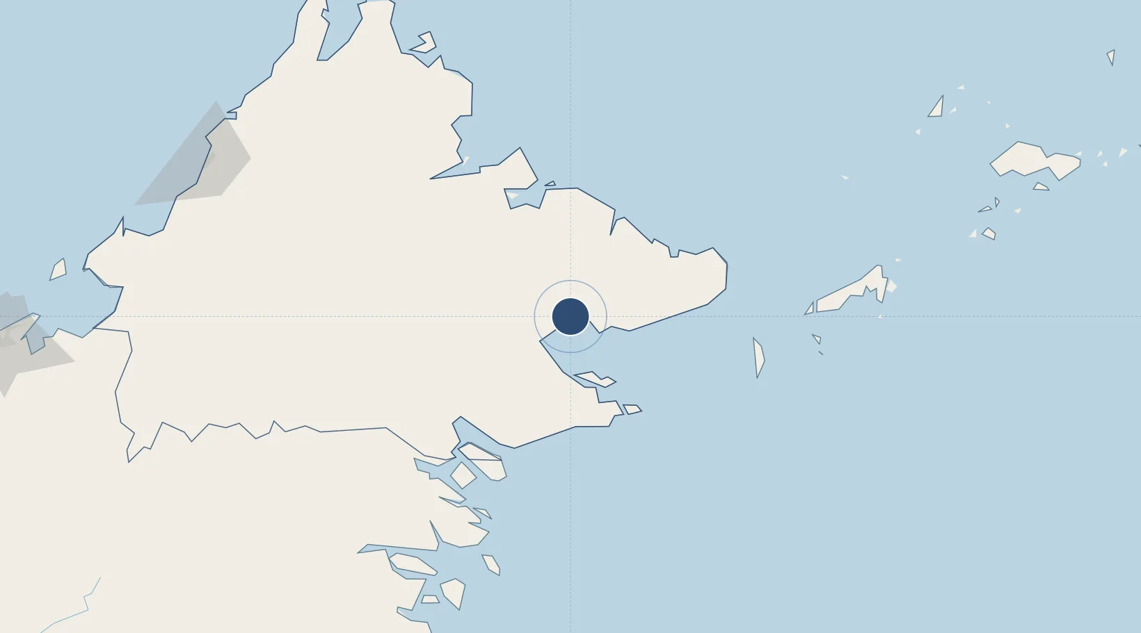
5.0324°, 118.3238°
4,498 ft
Longest runway
1
Runways
45 ft
Elevation
Runway & Layout

Radio Frequencies
TWR
122.3 MHz
Navaids
LHD NDB Lahad Datu 334 kHz
Runways · 1
| Runway | Dimensions | Surface | True heading | Lit |
|---|---|---|---|---|
| 11/29 | 4,498 × 98ft | Asphalt | 116° | ✓ |
Airport Specifications
IATA code
LDU
ICAO code
WBKD
Airport class
Medium airport
Scheduled service
Yes
Runway surface
Asphalt
Served city
Lahad Datu
Location
Nearby Logistics Neighbours
Airports
- 1Tomanggong Airport55 km
- 2Tawau Airport83 km
- 3Sandakan Airport101 km
- 4Sanga Sanga Airport157 km
- 5Juwata International Airport / Suharnoko Harbani AFB208 km
Cities
- 1Lahad Datu, Sabah6 km
- 2Labuan Haji70 km
- 3Sabahat79 km
- 4Sandakan, Sabah92 km
- 5Tawau, Sabah100 km
Ports
- 1Lahad Datu2 km
- 2Bakapit30 km
- 3Mostyn40 km
- 4Pelabuhan Sandakan92 km
- 5Tawa100 km
Trade Zones
- 1Sabah Development Corridor269 km
- 2Labuan Offshore Financial Centre342 km
- 3Muara Export Zone360 km
- 4Terunjing Free Trade Zone360 km
- 5Rio Tuba Export Processing Zone402 km
DatabookThe Record of Consolidated Knowledge
Malaysia beyond logistics?