UN/LOCODE hub · Indonesia
IDTRK
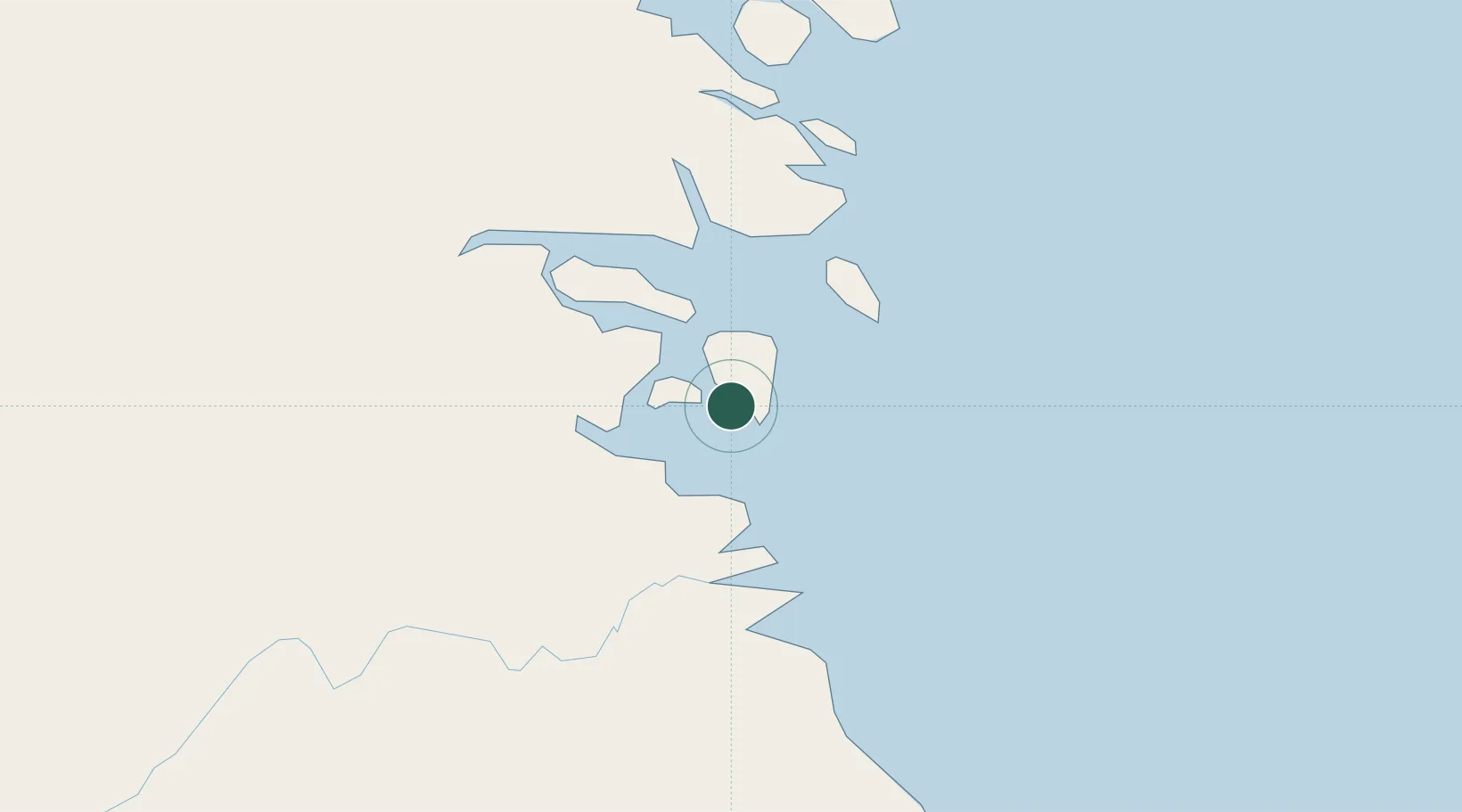
Tarakan, Kalimantan
3.2850°, 117.5893°
1
Transport functions
1
Container terminals
Transport Functions
Port
Hub Profile
Logistics facilities
2
Container terminals
1
Location
Nearby Logistics Neighbours
Cities
- 1Bunyu33 km
- 2Tawau, Sabah112 km
- 3Bantul129 km
- 4Mangkajang129 km
- 5Suaran138 km
Ports
- 1Tanjung Arang (Bunyu)34 km
- 2Tawa112 km
- 3Mostyn172 km
- 4Lahad Datu209 km
- 5Bakapit216 km
Airports
- 1Juwata International Airport / Suharnoko Harbani AFB5 km
- 2Tanjung Harapan Airport55 km
- 3Robert Atty Bessing112 km
- 4Kalimarau Airport128 km
- 5Tawau Airport129 km
Trade Zones
DatabookThe Record of Consolidated Knowledge
Indonesia beyond logistics?