Channel & Berth Profile
Pilotage, Tugs & Services
Pilotage compulsoryNO
Pilotage availableYES
Tug assistanceYES
Salvage tugsNO
Potable waterYES
MedicalYES
Garbage disposalNO
Facilities & Capabilities
Container—
Ro-Ro—
Liquid bulk—
Dry bulk—
Oil terminal—
Break bulk—
Dry dock—
Repairs—
BunkeringYES
Rail linkYES
Dangerous cargo—
ISPS security—
Harbour Specifications
Harbour size
Very Small
Harbour type
Coastal (Natural)
Shelter
Good
Water body
Celebes Sea; North Pacific Ocean
Tidal range
2 m
Pilotage
No
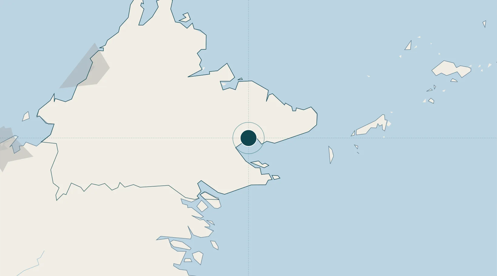
Location
Container Terminals · 1
POIC CONTAINER TERMINAL LAHAD DATU
LDUCT POIC SABAH SDN. BHD.
Nearby Logistics Neighbours
Ports
- 1Bakapit31 km
- 2Mostyn38 km
- 3Pelabuhan Sandakan94 km
- 4Tawa98 km
- 5Tanjung Arang (Bunyu)181 km
Cities
- 1Labuan Haji69 km
- 2Sabahat80 km
- 3Sandakan, Sabah93 km
- 4Tawau, Sabah98 km
- 5Beluran, Sabah128 km
Airports
- 1Lahad Datu Airport2 km
- 2Tomanggong Airport57 km
- 3Tawau Airport81 km
- 4Sandakan Airport102 km
- 5Sanga Sanga Airport158 km
Trade Zones
- 1Sabah Development Corridor269 km
- 2Labuan Offshore Financial Centre341 km
- 3Muara Export Zone360 km
- 4Terunjing Free Trade Zone360 km
- 5Rio Tuba Export Processing Zone404 km
DatabookThe Record of Consolidated Knowledge
Malaysia beyond logistics?