Seaport · Malaysia
Pelabuhan SandakanMYSDK
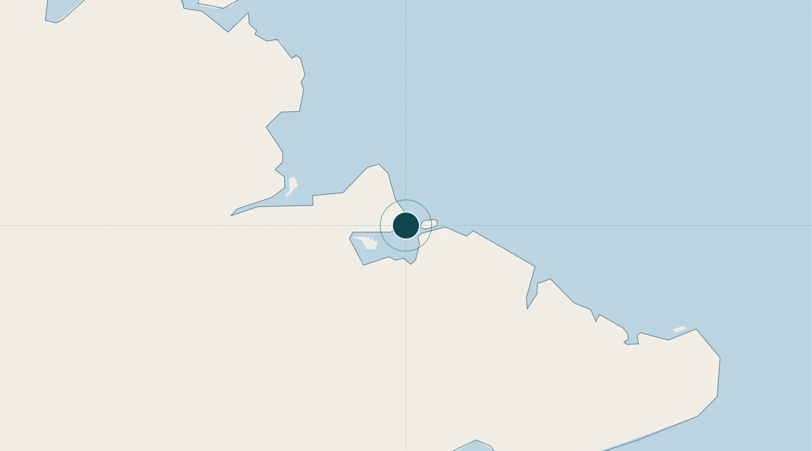
5.8333°, 118.1167°
9.4 m
Channel depth
1
Container terminals
7.8
Port liner connectivity
Channel & Berth Profile
Pilotage, Tugs & Services
Pilotage compulsoryNO
Pilotage availableYES
Pilotage advisableYES
Tug assistanceYES
Potable waterYES
Diesel bunkersYES
MedicalYES
Garbage disposalYES
Facilities & Capabilities
Container—
Ro-Ro—
Liquid bulk—
Dry bulk—
Oil terminal—
Break bulk—
Dry dock—
RepairsNO
BunkeringNO
Rail link—
Dangerous cargo—
ISPS security—
Harbour Specifications
Harbour size
Small
Harbour type
Coastal (Natural)
Shelter
Good
Water body
Sulu Sea; North Pacific Ocean
Tidal range
2 m
Overhead limit
Yes
Pilotage
No
Liner Connectivity
7.8
PLSCI
Port Liner Shipping Connectivity Index for Pelabuhan Sandakan, as published by UNCTAD for the latest available quarter. Higher values indicate stronger scheduled liner-shipping integration.
Shown relative to the highest per-port PLSCI in the dataset (1,657.9).
Location
Container Terminals · 1
SANDAKAN CONTAINER TERMINAL
SDKCT SABAH PORTS SDN. BHD.
Nearby Logistics Neighbours
Ports
- 1Lahad Datu94 km
- 2Bakapit111 km
- 3Mostyn129 km
- 4Tawa178 km
- 5Kudat182 km
Cities
- 1Beluran, Sabah63 km
- 2Lahad Datu, Sabah95 km
- 3Jambongan, Sabah115 km
- 4Sabahat133 km
- 5Labuan Haji161 km
Airports
- 1Sandakan Airport10 km
- 2Tomanggong Airport77 km
- 3Lahad Datu Airport92 km
- 4Tawau Airport169 km
- 5Kudat Airport186 km
Trade Zones
DatabookThe Record of Consolidated Knowledge
Malaysia beyond logistics?